Alert
Alerts
Description
Map
Ratings and reviews
See around
1
Description
S'engager à droite puis traverser tout droit une lande partiellement boisée et continuer jusqu'à une fourche. Rester à gauche et continuer jusqu'à la première intersection. Quitter le GR, et monter à droite sur un chemin en pouzzolane en forte pente. Après un replat, poursuivre la montée jusqu'au sommet du puy de Lassolas. Suivre la crête (panorama sur les monts du Cantal, le Sancy, le Forez et la Chaîne des Puys et le lac d'Aydat) jusqu'au premier chemin à gauche.
Technical Information
Lat, Lng
45.7022642.959735
Coordinates copied
Uncertain state
Point of Interest updated on 16/05/2023
This point of interest hasn't been updated recently, which could compromise the reliability of this information. We recommend that you inquire and take all necessary precautions. If you're the author, please verify your information.
Altimetric profile
IGN cards
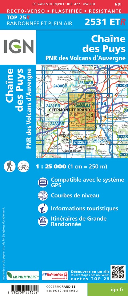
2531ETR - CHAÎNE DES PUYS RESISTANTE PNR DES VOLCANS D'AUVERGNE
Editor : IGN
Collection : TOP 25 RÉSISTANTE
Scale : 1:25 000
17.20€

2531ET - CHAINE DES PUYS PNR DES VOLCANS D'AUVERGNE
Editor : IGN
Collection : TOP 25 ET SÉRIE BLEUE
Scale : 1:25 000
13.90€

TOP75015 - CHAINE DES PUYS - MASSIF DU SANCY
Editor : IGN
Collection : TOP 75
Scale : 1:75 000
9.80€

148 CLERMONT FERRAND SALERS PNR DES VOLCANS D'AUVERGNE
Editor : IGN
Collection : TOP 100
Scale : 1:100 000
8.40€

D42-43 LOIRE HAUTE-LOIRE
Editor : IGN
Collection : CARTES DÉPARTEMENTALES IGN
Scale : 1:150 000
5.90€

D03-63 ALLIER PUY-DE-DÔME
Editor : IGN
Collection : CARTES DÉPARTEMENTALES IGN
Scale : 1:150 000
5.90€

D15-19 CANTAL CORREZE
Editor : IGN
Collection : CARTES DÉPARTEMENTALES IGN
Scale : 1:150 000
5.90€

EUROPE
Editor : IGN
Collection : DÉCOUVERTE DES PAYS DU MONDE IGN
Scale : 1:2 500 000
7.00€
Data author

proposed by
Conseil Départemental du Puy-de-Dôme
24 rue Saint-Esprit 63000 Clermont-Ferrand France
Ratings and reviews
To see around