Attert


Description
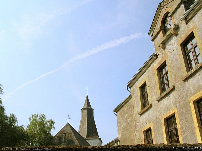
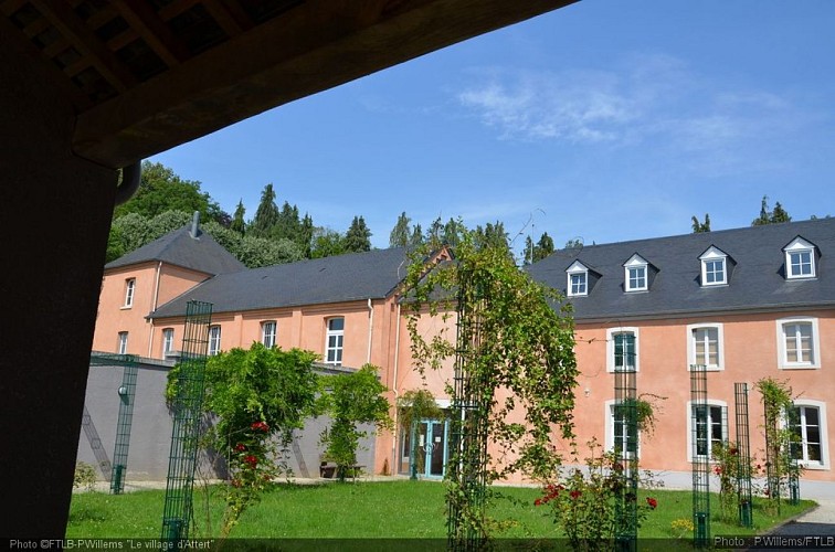
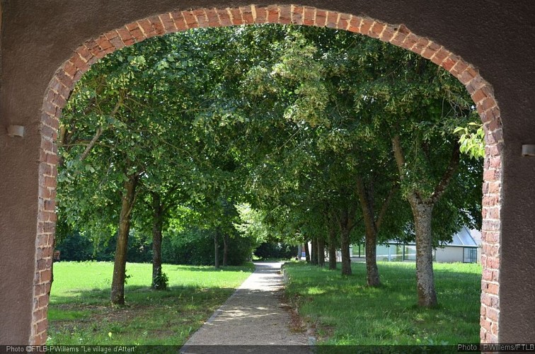
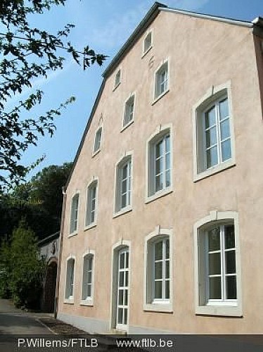
This entity gathers 17 villages and hamlets. It is located at an average heigh of 330 meters between the Forest of Anlier in its Northern part and the first Belgian Lorraine cuesta in its southern part. Its main characteristic is a "green" tourism based on discovering the nature spaces and the rural heritage by foot or by bicycle. Come back to your roots by walking in nature spaces rich in biodiversity.Attert is a pilot entity for rural renovation and Nobressart is among the "most beautiful villages of Wallonia". Among its built heritage, there are notably the Discovery center of the Attert valley, the listed "Hallle-Kirche"-style Saint-Etienne church (16th century), some old farms from the 18th and 19th centuries, in Schockville and in Metzert, the mill of Noberssart, the chapel of Lottert, some crosses and calvaries in local stone... In Heinstert, you must also see the historic site of the Burgknapp, a feudal retrenchment.
Technical information
6717 Attert
Altimetric profile
Data author
