Description
Map
Ratings and reviews
See around
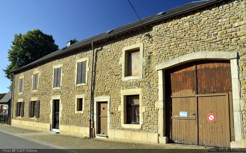
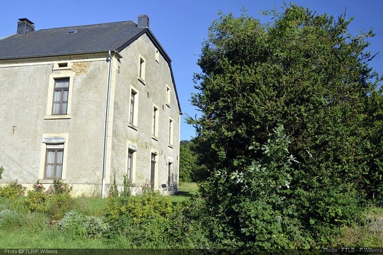
The village of Toernich
Credit
: FTLB/P.Willems
Description
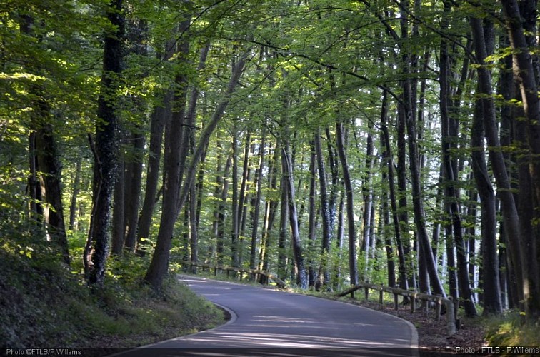
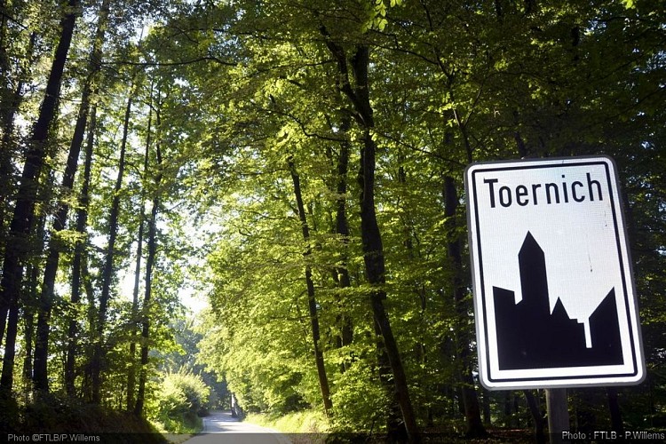
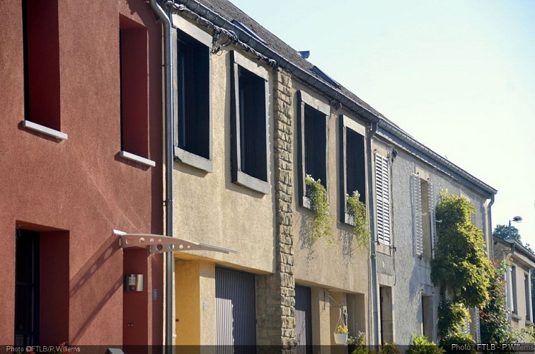
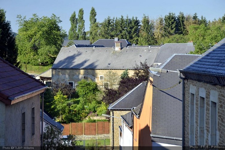
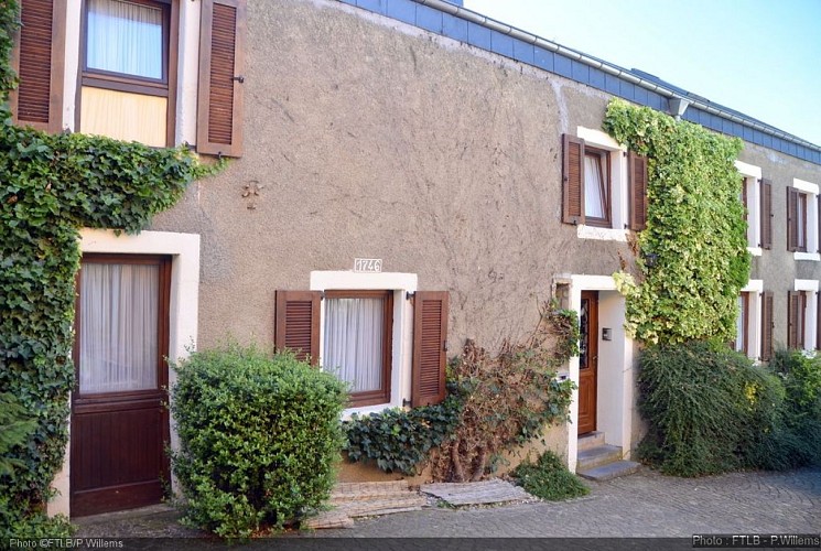
Toernich, 5 km away in the south-west of Arlon, expands at the foot of Hirtzenberg "the hill of the stags", 465 m at its highest point. Away from the main roads, Toernich is unhabited by about 450 people. The village invites to strolls, while walking you'll discover a fine fountain (1874), some crosses and calvaries as well as superb trees. (Original text by Office du Tourisme d’Arlon)
Technical information
Updated at : 21/04/2024
Toernich
6700 Toernich
6700 Toernich
Lat : 49.6515Lng : 5.78041
346 m
Altimetric profile
Data author

proposed by
Pays d'Arlon
Ratings and reviews
To see around