Alert
Alerts
Coudes
Description
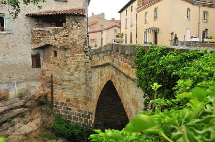
At the confluence between the Couze Chambon and the Allier River, le village has developed itself along old boarding ramps. The Couze River is 40 km long, and has its origns in Chambon-sur-Lac. Coudes counts with 2 mineral springs, one located at the confluence between the Couze Chambon and the Allier River, with a weak and variable flow. The other one is more important. It’s known under the name of “the Saulée spring”, ‘Saur spring”, or also “Champ-Robert spring”. Its flow is weaker than in the early 20th century, and its water is really mineralized and gaseous. It was famous for its properties, curing arthritis, diabetes, obesity, nervous troubles, and stomach and skin diseases. The company of mineral waters of Coudes wanted to fit out a spa resort, but the project was rejected. The utilization of the spring stopped officially in 1940 because of the WWII and because of the lack of interest of the population.
Technical Information
Altimetric profile
Data author
