Description
Map
Ratings and reviews
See around
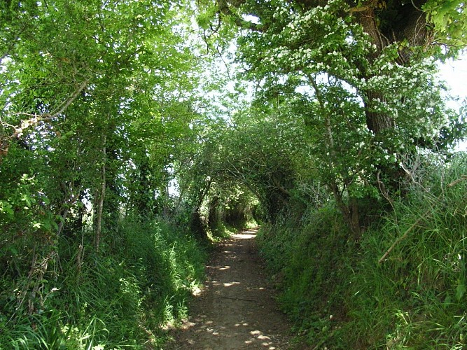
Le Site de Kerantré
Credit
: ©TASB
Description
Après avoir traversé le village de Kerantré, qui conserve, à son entrée, une borne de l’ancienne abbaye, vous arrivez dans un chemin creux. Cet itinéraire emprunte une ancienne « Route du Sel ». Quelques mètres plus loin, on a un remarquable panorama sur La Vilaine. Ces coteaux étaient plantés de vignobles pendant toute la période médiévale et jusqu’au 19ème siècle.
Technical Information
Lat, Lng
47.5076642-2.4423981
Coordinates copied
Altitude
23 m
Point of Interest updated on 17/11/2022
Altimetric profile
Data author

proposed by
Damgan - La Roche Bernard Tourisme
Place Alexandre Tiffoche 56750 DAMGAN France
Ratings and reviews
To see around