VOIE DE 60

Description
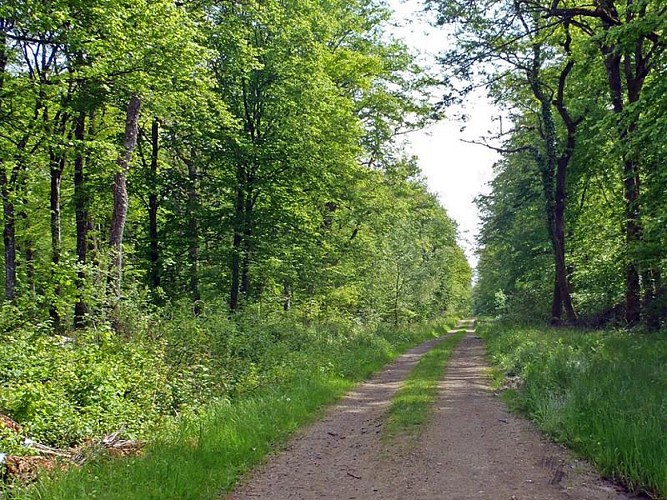
The "voie de 60" is an old railroad line linked to the Maginot line. The Boulange station was used to transfer material and men between the normal track and the network of fortress 60s. This track linked major artillery works such as Molvange and Rochonvillers. It was mainly used for supplies to various works. Not all military works are equipped with railways. They are supplied by truck.
Technical information
Altimetric profile
Date and time
- From 01/01/2024 to 31/12/2024
Additional information
Contact
Tel : 0382594455
Site web : www.boulange.fr/
Producteur de la donnée
Ces informations sont issues de la plateforme SITLOR - Système d’Information Touristique - Lorraine
Elles sont synchronisées dans le cadre du partenariat entre Cirkwi, l’Agence régionale du Tourisme Grand Est et les membres du comité technique de Sitlor.
Data author
