Alert
Alerts
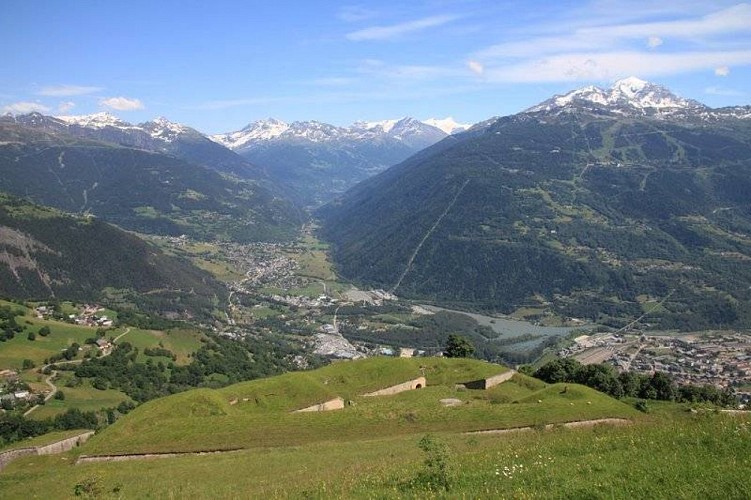
Fort du Truc
Description
When the Duchy of Savoy (Savoie) was annexed to France in 1860, the unification of Italy posed a new threat. In 1888 France established the Alpine troops as well as a protective system that ran from the Jura all the way down to Nice: the Séré de Rivière line. For the construction of the forts, emphasis was placed on large passes and natural outlets. Tarentaise Valley was particularly exposed. It could be accessed from the mountain passes of Le Petit Saint-Bernard, Mont-Cenis and L'Iseran, and preventing such free passage was therefore paramount. The plans for the Séré de Rivière system anticipated several structures. La Redoute Ruinée, built just above the mountain pass, provided it with direct protection.This fort is supported by another three, with very specific purposes: - Vulmix (1,000m), barring access- Le Truc (1,573m), protection- La Platte (2,000m), surveillanceDespite the distance between them, the three forts of Bourg-Saint-Maurice formed an integral protection and surveillance system. Building work on the Fort du Truc began in 1890 to reinforce the action of the Vulmix Fort. Sold by the army in the 1960s, it is now a private property closed to visitors.
Technical Information
Altimetric profile
IGN cards


Data author
