Alert
Alerts
Description
Map
Ratings and reviews
See around
The panorama over the Nantcruet valley

Credit
: PNV - MÉLÉ Stéphane
Description
From the cross looking eastwards, you can see the very steep-sided stream of the Nant Cruet, with the Aiguille de la Grande Sassière at the bottom of the valley, culminating at 3,747 m. The left bank of the torrent on the cold and humid ubac slope (north-facing side), is little exploited by man, which has allowed the forest to establish. By contrast, the right bank, located on the adret slope, testifies to the strong agricultural activity characterised by numerous hamlets, hay meadows and mountain pastures.
Technical Information
Lat, Lng
45.53381886.901777
Coordinates copied
Point of Interest updated on 17/12/2025
Altimetric profile
IGN cards

3532ETR - LES ARCS LA PLAGNE RESISTANTE PARC NATIONAL DE LA VANOISE
Editor : IGN
Collection : TOP 25 RÉSISTANTE
Scale : 1:25 000
17.20€

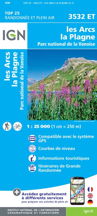
3532ET - LES ARCS LA PLAGNE PARC NATIONAL DE LA VANOISE
Editor : IGN
Collection : TOP 25 ET SÉRIE BLEUE
Scale : 1:25 000
13.90€

TOP75004 - BEAUFORTAIN MASSIF DU MONT BLANC
Editor : IGN
Collection : TOP 75
Scale : 1:75 000
9.80€

TOP75003 - MASSIF DE LA VANOISE
Editor : IGN
Collection : TOP 75
Scale : 1:75 000
9.80€

TOP100D73 - SAVOIE CHAMBÉRY ALBERTVILLE PARC NATIONAL DE LA VANOISE PNR DU MASSIF DES BAUGES
Editor : IGN
Collection : TOP 100
Scale : 1:100 000
8.40€

202 JURA ALPES DU NORD
Editor : IGN
Collection : TOP 200
Scale : 1:200 000
6.80€

D38 ISÈRE
Editor : IGN
Collection : CARTES DÉPARTEMENTALES IGN
Scale : 1:150 000
5.90€

NR15 AUVERGNE-RHÔNE-ALPES RECTO/VERSO MASSIF ALPIN
Editor : IGN
Collection : CARTES RÉGIONALES IGN
Scale : 1:250 000
6.80€

NR14 AUVERGNE-RHÔNE-ALPES RECTO/VERSO MASSIF CENTRAL
Editor : IGN
Collection : CARTES RÉGIONALES IGN
Scale : 1:250 000
6.80€

EUROPE
Editor : IGN
Collection : DÉCOUVERTE DES PAYS DU MONDE IGN
Scale : 1:2 500 000
7.00€
Data author

proposed by
Parc national de la Vanoise
Ratings and reviews
To see around