Alert
Alerts
Description
Map
Ratings and reviews
See around
The Col de Chavière

Credit
: PNV - PERRIER Jacques
Description
The mountain pass, whose etymology, “bald” accurately describes the mineral environment that reigns there. A passageway between the Tarentaise and the Maurienne, the pass offers a view over the Chavière glaciers and the Dôme de Polset. To the north, on the horizon, you can see Mont-Blanc, while to the south stands the Écrins mountain range.
Technical Information
Lat, Lng
45.27047986.6576913
Coordinates copied
Point of Interest updated on 17/12/2025
Altimetric profile
IGN cards

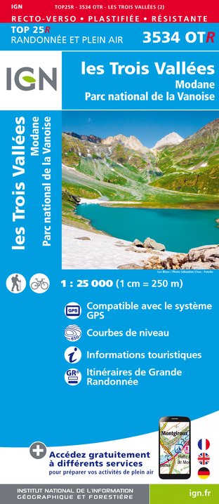
3534OTR - LES TROIS VALLÉES RESISTANTE MODANE PARC NATIONAL DE LA VANOISE
Editor : IGN
Collection : TOP 25 RÉSISTANTE
Scale : 1:25 000
17.20€

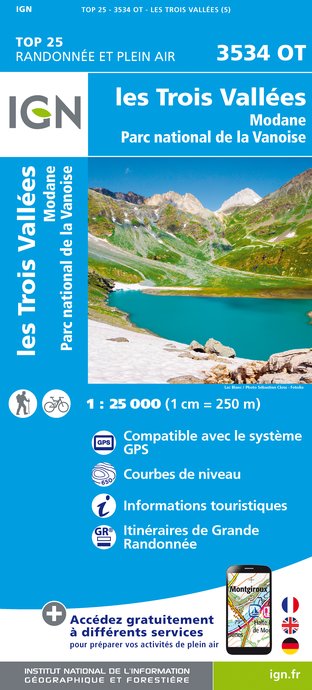
3534OT - LES TROIS VALLÉES MODANE PARC NATIONAL DE LA VANOISE
Editor : IGN
Collection : TOP 25 ET SÉRIE BLEUE
Scale : 1:25 000
13.90€

TOP75003 - MASSIF DE LA VANOISE
Editor : IGN
Collection : TOP 75
Scale : 1:75 000
9.80€

TOP100D73 - SAVOIE CHAMBÉRY ALBERTVILLE PARC NATIONAL DE LA VANOISE PNR DU MASSIF DES BAUGES
Editor : IGN
Collection : TOP 100
Scale : 1:100 000
8.40€

202 JURA ALPES DU NORD
Editor : IGN
Collection : TOP 200
Scale : 1:200 000
6.80€

D38 ISÈRE
Editor : IGN
Collection : CARTES DÉPARTEMENTALES IGN
Scale : 1:150 000
5.90€

NR15 AUVERGNE-RHÔNE-ALPES RECTO/VERSO MASSIF ALPIN
Editor : IGN
Collection : CARTES RÉGIONALES IGN
Scale : 1:250 000
6.80€

NR14 AUVERGNE-RHÔNE-ALPES RECTO/VERSO MASSIF CENTRAL
Editor : IGN
Collection : CARTES RÉGIONALES IGN
Scale : 1:250 000
6.80€

EUROPE
Editor : IGN
Collection : DÉCOUVERTE DES PAYS DU MONDE IGN
Scale : 1:2 500 000
7.00€
Data author

proposed by
Parc national de la Vanoise
Ratings and reviews
To see around