Alert
Alerts
Doron de Champagny

Description
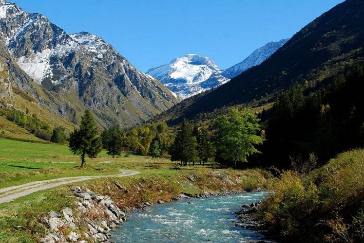
The Doron is formed by the meeting of several watercourses that find their sources in various mountain glaciers. It abounds in fario and brook trout to the general delight of anglers. The stream makes its way between the rocks, watering milieus where fauna and flora can flourish. Water is essential to life: a benefactor that can also be a destroyer.Over the course of time, the Doron de Champagny has suffered avalanches, landslides and storms, and its tributaries have overflowed, their waters destroying crops and houses alike. As far back as the Middle Ages, mountain dwellers used water’s mechanical power to operate their flourmills and sawmills, but it was not until the 19th century that humankind learned how to use water as a source of energy, with hydroelectricity, dams and so on. Even today, during strong storms, the inhabitants can see the Doron rise from its bed!
Technical Information
Altimetric profile
IGN cards


Data author
