Alert
Alerts
Description
Map
Ratings and reviews
See around
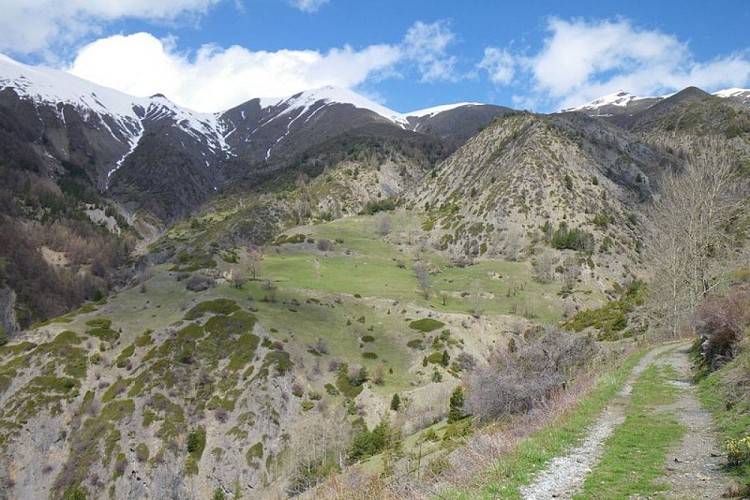
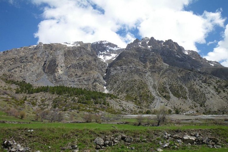
Saint-Ours plateau
Credit
: François BRETON
Description
This is a small plateau in a bower of cultivated zones and pastures, that the large boulders of the same name underline. Now that there is less pressure on the land due to grazing, it is possible to see the dynamics of natural recolonization on the slopes around the hamlet: common and savin junipers, dog roses, Scotch pines...are gradually gaining ground.The warmer slopes on the Rochaille path are an area for deer, whereas the Alpine pasture and the rocks above the path are home to chamois and ibex. The latter were reintroduced by the Mercantour National Park in 1999 in the Rochers de Saint-Ours.
Technical Information
Lat, Lng
44.48185926.8059005
Coordinates copied
Uncertain state
Point of Interest updated on 30/10/2023
This point of interest hasn't been updated recently, which could compromise the reliability of this information. We recommend that you inquire and take all necessary precautions. If you're the author, please verify your information.
Altimetric profile
IGN cards
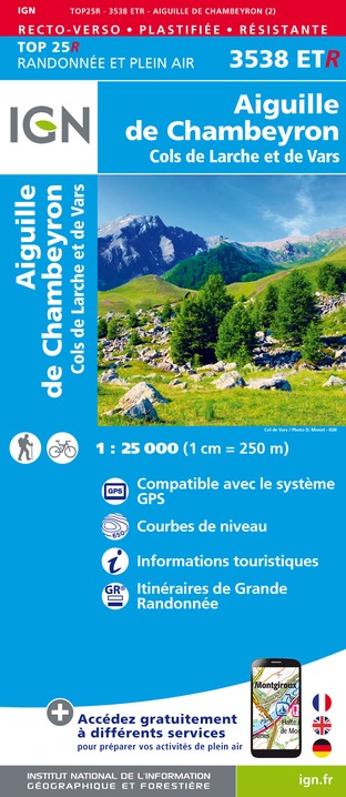
3538ETR - AIGUILLE DE CHAMBEYRON RESISTANTE COLS DE LARCHE ET DE VARS
Editor : IGN
Collection : TOP 25 RÉSISTANTE
Scale : 1:25 000
17.20€
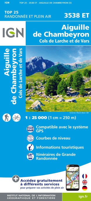
3538ET - AIGUILLE DE CHAMBEYRON COLS DE LARCHE ET DE VARS
Editor : IGN
Collection : TOP 25 ET SÉRIE BLEUE
Scale : 1:25 000
13.90€
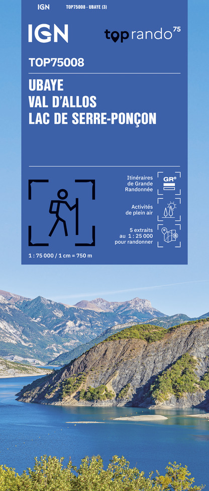
TOP75008 - UBAYE VAL D'ALLOS LAC DE SERRE-PONCON
Editor : IGN
Collection : TOP 75
Scale : 1:75 000
9.80€

TOP100D04 - ALPES-DE-HAUTE-PROVENCE DIGNE MANOSQUE PNR DU VERDON LAC DE SERRE-PONÇON
Editor : IGN
Collection : TOP 100
Scale : 1:100 000
8.40€

D04-05 ALPES-DE-HAUTE-PROVENCE HAUTES-ALPES
Editor : IGN
Collection : CARTES DÉPARTEMENTALES IGN
Scale : 1:150 000
5.90€

NR16 PROVENCE-ALPES-CÔTE D'AZUR
Editor : IGN
Collection : CARTES RÉGIONALES IGN
Scale : 1:250 000
6.80€

NR14 AUVERGNE-RHÔNE-ALPES RECTO/VERSO MASSIF CENTRAL
Editor : IGN
Collection : CARTES RÉGIONALES IGN
Scale : 1:250 000
6.80€

NR15 AUVERGNE-RHÔNE-ALPES RECTO/VERSO MASSIF ALPIN
Editor : IGN
Collection : CARTES RÉGIONALES IGN
Scale : 1:250 000
6.80€

EUROPE
Editor : IGN
Collection : DÉCOUVERTE DES PAYS DU MONDE IGN
Scale : 1:2 500 000
7.00€
Data author

proposed by
mercantour-parcnational.fr
23 rue d'Italie 06006 Nice France
Ratings and reviews
To see around