Alert

Alerts

To see around
See more
Open
Close
Show
Show
Show
Show
Show
Show
Show
Show
Show
Show
Show

Oups... It would appear that Cirkwi does not have permission to use your location.

Description
Map
Ratings and reviews
See around

The Gerny Anticline

The Gerny Anticline

Description

You will find yourself at the highest point of a flattened area. From Rue de Ninove onwards, you will have
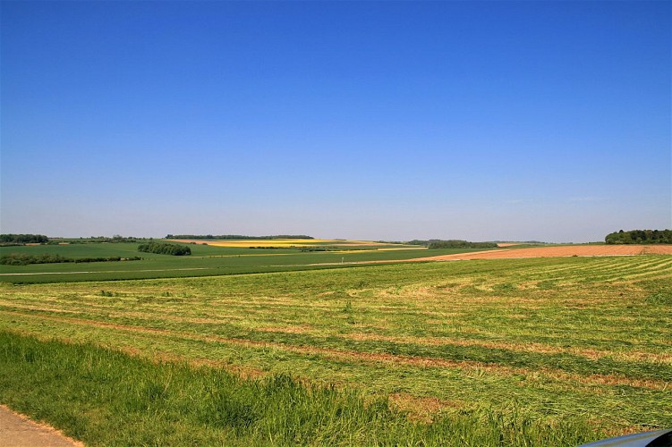
passed by a number of disused quarries (not always easy to spot, as they are fenced off). Were you to continue northwards, you would come to the Boverie quarry, mentioned above. Geologically speaking, you would still be treading Calestienne limestone all the way from the On quarry to the Boverie. Along most of its length, the Calestienne is a strip less than a mile wide. Here, however, it is at its widest at 4 km, as a result of a geological anticline: this is the Gerny plateau, or Gerny anticline, which stretches
eastwards from Rochefort as far as Hargimont. This slightly rolling limestone plateau was covered by windborne silt loam deposits ideal for crop-growing.

Technical Information

Lat, Lng
50.17148355.254941
Coordinates copied
Altitude
274 m
Uncertain state
Point of Interest updated on 21/02/2022
This point of interest hasn't been updated recently, which could compromise the reliability of this information. We recommend that you inquire and take all necessary precautions. If you're the author, please verify your information.

Altimetric profile

Ratings and reviews

To see around
See more
Open
Close
Show
Show
Show
Show
Show
Show
Show
Show
Show
Show
Show
Caution!
We have no information on the difficulty of this circuit. You may encounter some surprises along the way. Before you go, please feel free to inquire more and take all necessary precautions. Have a good trip! 🌳🥾