Alert
Alerts
Nou Maulin hole


Description
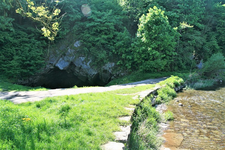
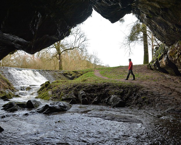
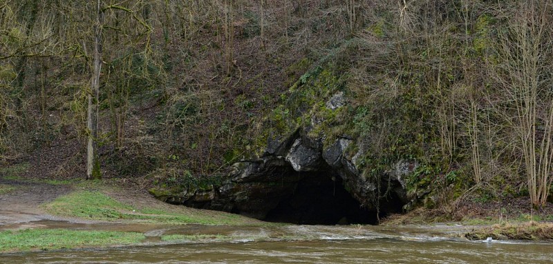
You are now standing outside the entrance to the Trou Maulin, which gives access to a complex network of
galleries extending over more than 1,600 metres. You can enter the first 20 metres of the entrance gallery with just a hand-torch (any further would require the presence of a qualified guide). The left wall of the entrance features a series of asymmetric spoon-shaped hollows. These structures or “chisel marks” are the sign of a turbulent current and indicate the direction of flow. It is also apparent that the gallery actually descends beneath below the level of the surface river. Speleologists have found the level of the water table some fifteen metres beneath the bed of the Lomme. Opposite the entrance, a dyke separates the river from the cave, otherwise the Lomme would disappear completely into the cave. The construction of the dyke, and the paving of the bed of the river, were carried out by the local authorities in the last century. The aim was to keep the course of the river above ground as it flowed through the village, for sanitation purposes and as a source of power for its mills.
Technical Information
Altimetric profile
IGN cards


Data author
