Alert
Alerts
Vallée du Tranloup

Description
The Tranloup valley is classified as a Type I ZNIEFF (Zone naturelle d'intérêt écologique, faunistique et floristique), with a total surface area of 345 hectares. This natural site straddles the administrative boundaries of four communes: Blessac (206.9 hectares), Alleyrat, Ars and Saint-Médard-La-Rochette.
The general landscape ambiance is that of a forest environment, with spruce as the dominant species, and a few broadleaved trees scattered throughout. Common beech (Fagus sylvatca) and pedunculate oak (Quercus robur) are the most common hardwood species. Coniferous trees include spruce (Picea abies) and Douglas fir (Pseudotsuga menziesii). The Tranloup riparian zone features hydrophilic species such as alder (Alnus glutnosa) and willow (Salix caprea).
Located to the north-west of Aubusson, the Tranloup valley is crossed by the Tranloup stream
Technical Information
Altimetric profile
Additional information
Contact
Fixed telephone : 05 55 66 32 12
Web site (URL) : www.aubusson-felletin-tourisme.com
e-mail : tourisme.aubusson@gmail.com
Typologie de site
Rocks, cliffs, caves
Animaux bienvenus ?
Oui
Ouverture
Date de début : 01/01/2025 00:00:00
Date de fin : 31/12/2025 00:00:00
Infos sur la visite
Conditions de visite : Unaccompanied tours
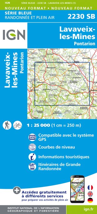
IGN cards


Data author
