Alert
Alerts
L'Hertogenwald

Description
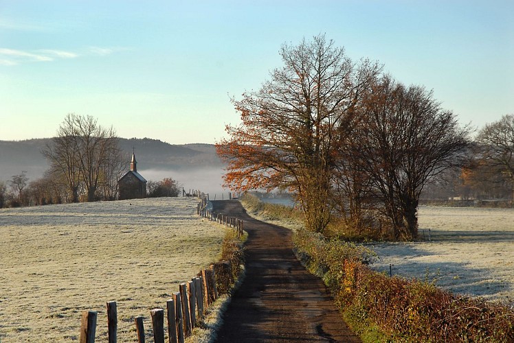
The municpality of Baelen's territory is covered, in part by the forest named the Hertogenwald (the Duke's forest). Under the Ancien Régime, the inhabitants of Baelen possessed certain rights of usage, granted at the time by the Dukes of Limbourg. Consequently, for prices set according to animals, they were granted the rights to graze sheep, pigs and cattle in the localities of Schornstein, Hattlich, la Robinette and Porfays. They also had the right of estovers which involved collecting dead wood to use as fire wood. Many trees were also cut down to be used for the construction of houses, though such cutting was supervised by a master-forester. Yesteryear, the forest was a source of nourishment for mankind, and today it still nurtures us thanks to the revitalisation it provides us during walks on its paths and trails authorised by the DNF.
Technical Information
Altimetric profile
IGN cards
Data author


