Alert
Alerts
La Vallée de l'Ourbise
Description
Natura 2000 site in a rural socio-economic context, recognized for the diversity of its landscapes and natural resources: aquatic and riverside vegetation (Alderberry-Frênaie), animal and plant species of heritage (Cistude, Otter, Dragonflies, Raptors, Great Naiad...)
The Ourbise, river of Moyenne Garonne, has the particularity of linking three distinct natural environments. The source emerges in the small Landes de l'Est (the Haute Ourbise).
The river then meanders through a first terrace of the Garonne (the middle Ourbise) then flows into the alluvial plain of the Garonne river (the lower Ourbise). The "Garonne Ourbise" is the association of the Middle and Lower Ourbise from Villefranche du Queyran.
Technical Information
Altimetric profile
Additional information
Contact
Fixed telephone : +33 5 53 88 02 57
e-mail : sepanlog47@orange.fr
Web site (URL) : www.sepanlog.org
Typologie de site
Lakes, ponds, water bodies, marshland, springs
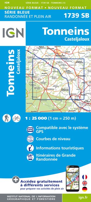
IGN cards


Data author
