Alert
Alerts
Description
Map
Ratings and reviews
See around
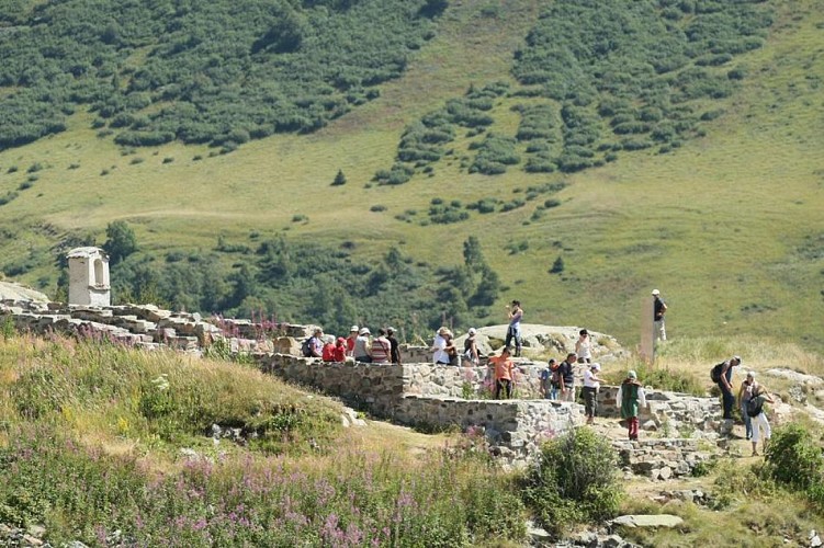
Archaeological site of Brandes
Credit
: Laurent Salino
Description
Below the road is the medieval archaeological site Brandes, classified as historical monuments. This former mining village of XIIIth and XIVth centuries is the highest in Europe. It is linked to the exploitation of a deposit of lead and silver.
Technical Information
Lat, Lng
45.088696.08839
Coordinates copied
Altitude
1865 m
Uncertain state
Point of Interest updated on 01/01/2013
This point of interest hasn't been updated recently, which could compromise the reliability of this information. We recommend that you inquire and take all necessary precautions. If you're the author, please verify your information.
Altimetric profile
Data author

proposed by
Oisans Tourisme
1 bis rue Humbert 38529 Le Bourg-d'oisans France
Ratings and reviews
To see around