Alert
Alerts
Description
Map
Ratings and reviews
See around
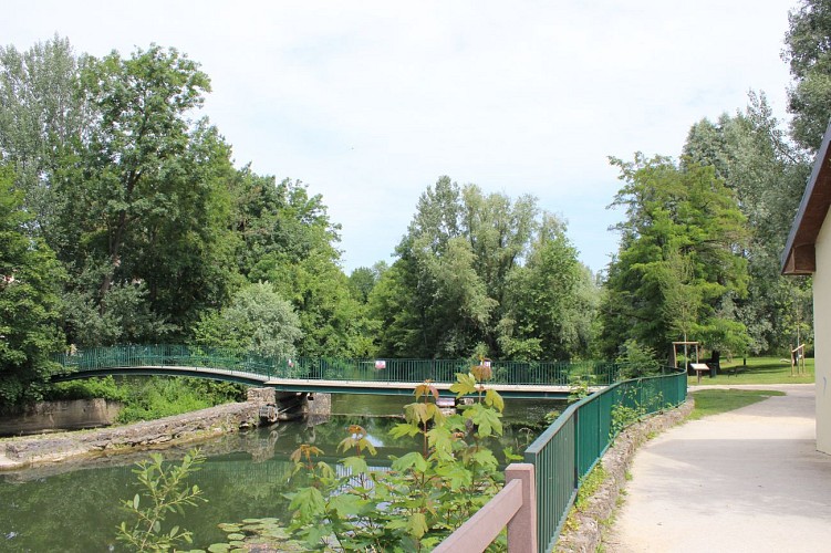
Rond-Point - Parc des deux Rivières
Credit
: Essonne Tourisme/SB
Description
Au rond-point, suivre la chemin piétonnier sur la gauche. Emprunter le passage piéton à droite. Continuer sur la gauche par le chemin piétonnier allant vers l’Yerres sur 50m. À droite, entrer dans le parc des Deux-Rivières. Poursuivre sur le sentier longeant le rivière. Franchir l’Yerres par le pont à droite et suivre le chemin qui traverse l’Île Panchout. Passer le pont à droite, longer l’Yerres sur la rive gauche et monter sur le pont de la D34. Traverser le pont à gauche.
Technical Information
Lat, Lng
48.70715862.4984026
Coordinates copied
Altitude
40 m
Uncertain state
Point of Interest updated on 03/11/2021
This point of interest hasn't been updated recently, which could compromise the reliability of this information. We recommend that you inquire and take all necessary precautions. If you're the author, please verify your information.
Altimetric profile
Data author

proposed by
Essonne Tourisme
19 rue des Mazières 91000 Evry-Courcouronnes France
Ratings and reviews
To see around