Alert
Alerts
Le monument de la Poche Sud

Description
The Southern Pocket of Saint-Nazaire
The Second World War brought its share of victims and acts of bravery.
This was particularly the case at La Sicaudais, where a monument was erected to commemorate the military and civilian victims who fell in the liberation of the southern part of the Saint-Nazaire Pocket (an area where the Germans had dug in from August 1944).
The inauguration of this monument to the Southern Pocket at La Sicaudais took place on 30 June 1946 in front of a crowd of 20,000 people.
Commemoration
This granite monolithic monument bears the inscription: "Le pays de Retz aux victimes militaires et civiles tombées pour la libération de la Poche Sud" ("The Retz region to the military and civilian victims who fell for the liberation of the Southern Pocket").
This commemorative monument focuses on two local events:
On 21 December 1944, when a firefight broke out between German soldiers and the FFI at La Sicaudais. French soldiers suffered 10 dead and 38 wounded, while the Germans suffered at least 2 dead and 10 wounded.
On 26 December 1944, when the Pas Bochet station at La Sicaudais was bombed by the Allies, the newly installed infirmary was hit. Some fifteen people were killed, including three French civilians, including the stationmaster, Madame Toussaint.
In May 2022, to mark the 77th anniversary of the liberation of the Saint-Nazaire pocket, historical panels of the "Chemin de la mémoire 39-45 en Pays de Retz" were inaugurated next to this monument. This installation "illustrates through stories and images the historical trauma" of this period.
🪖 The first evokes the fighting and military aspects,
🕯️ the second, the living conditions of the pocketed civilians,
📝 and the third, the last military negotiations on French soil, in the Roulais ravine, on 9 May 1945.
Did you know?
The "Chemin de la mémoire 39-45 en Pays de Retz" is a remembrance tourism project initiated by the Association Souvenir Boivre Lancaster (ASBL). You can find out more here.
Technical Information
Altimetric profile
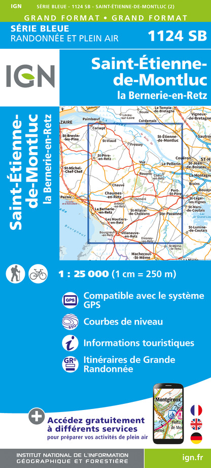
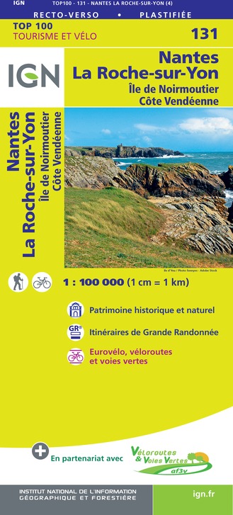
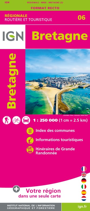
IGN cards


Data author
