Tours
Activities
Places of interest
Where to eat
Where to sleep
Picturesque Discoveries in Iguerande, Saône-et-Loire
Are you in charge of the destination?Welcome to Iguerande, a gem in Saône-et-Loire in the Burgundy region. This charming village serves as a gateway to a cornucopia of activities and discoveries that will captivate visitors of all ages. Nestled in rolling landscapes, Iguerande offers the opportunity to explore numerous hiking trails. Traverse these verdant paths and be charmed by the natural beauty of the region. Whether biking or wa...See more
Walking around Iguerande
See more suggestionsExplore the hiking trails around Iguerande.
See more suggestions


What to do in Iguerande
See more suggestionsActivities for all tastes await you in Iguerande, book them today.
See more suggestions


IGN cards

2829SB - CHARLIEU CHAUFFAILLES
Editor : IGN
Collection : TOP 25 ET SÉRIE BLEUE
Scale : 1:25 000
13.90€
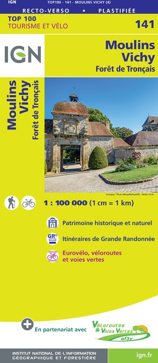
141 MOULINS VICHY FORÊT DE TRONÇAIS
Editor : IGN
Collection : TOP 100
Scale : 1:100 000
8.40€
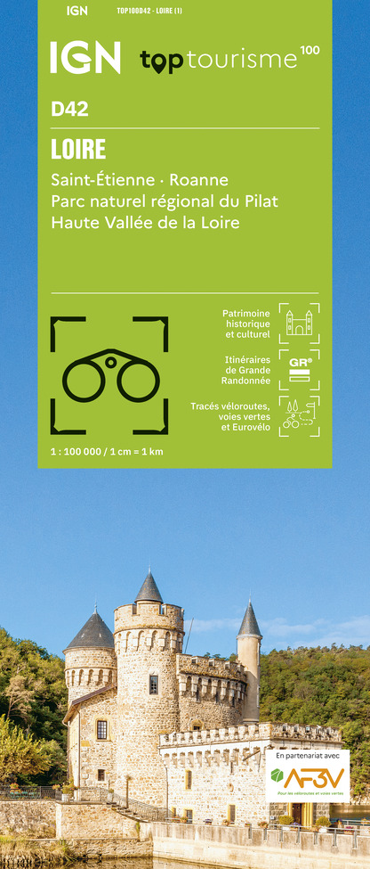
TOP100D42 - LOIRE SAINT-ÉTIENNE ROANNE PARC NATUREL RÉGIONAL DU PILAT HAUTE VALLÉE DE LA LOIRE
Editor : IGN
Collection : TOP 100
Scale : 1:100 000
8.40€
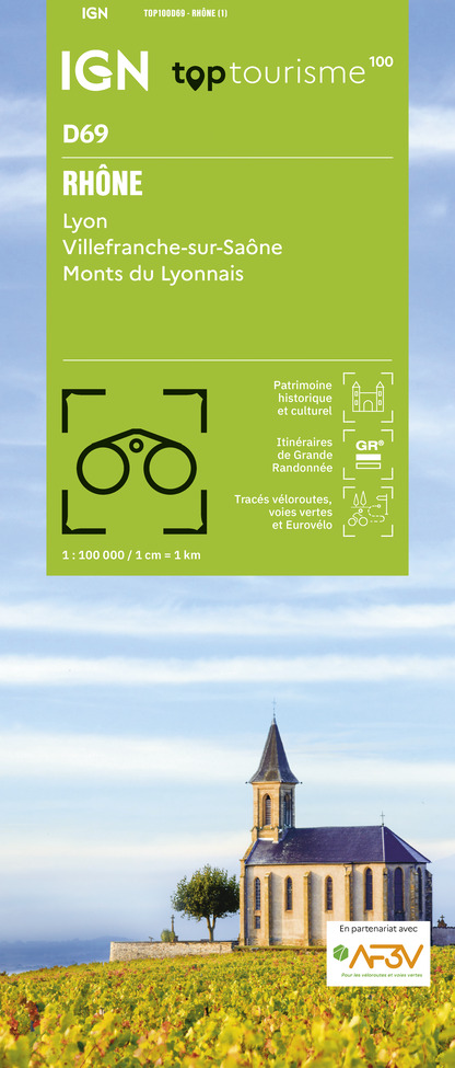
TOP100D69 - RHÔNE LYON VILLEFRANCHE-SUR-SAÔNE MONTS DU LYONNAIS
Editor : IGN
Collection : TOP 100
Scale : 1:100 000
8.40€

D71 SAÔNE-ET-LOIRE
Editor : IGN
Collection : CARTES DÉPARTEMENTALES IGN
Scale : 1:150 000
5.90€

D42-43 LOIRE HAUTE-LOIRE
Editor : IGN
Collection : CARTES DÉPARTEMENTALES IGN
Scale : 1:150 000
5.90€

D03-63 ALLIER PUY-DE-DÔME
Editor : IGN
Collection : CARTES DÉPARTEMENTALES IGN
Scale : 1:150 000
5.90€

D01-69 AIN RHÔNE
Editor : IGN
Collection : CARTES DÉPARTEMENTALES IGN
Scale : 1:150 000
5.90€

NR09 BOURGOGNE FRANCHE-COMTÉ
Editor : IGN
Collection : CARTES RÉGIONALES IGN
Scale : 1:250 000
6.80€

EUROPE
Editor : IGN
Collection : DÉCOUVERTE DES PAYS DU MONDE IGN
Scale : 1:2 500 000
7.00€


Where to eat in Iguerande
See more suggestionsExplore the best dining spots in Iguerande.
See more suggestions


Where to sleep in Iguerande
See more suggestionsStay near Iguerande with our lodging options.
See more suggestions


