Tours
Activities
Places of interest
Where to eat
Where to sleep

Explore Claret, Alpes-de-Haute-Provence, Provence

Are you in charge of the destination?
Nestled in a picturesque landscape overlooking the majestic Provence-Alpes-Côte d'Azur, Claret, Alpes-de-Haute-Provence attracts lovers of scenic views and peaceful relaxation. Nearby trails invite hikers and walkers to explore through lush hills, offering breathtaking views of the surrounding countryside and a chance to unwind in nature's embrace. Be sure to visit the Pic de Lure for a day trip o...See more

Walking around Claret

See more suggestions
Walk through the natural landscapes of Claret.
See more suggestions
Sous le Pic de Crigne
3 km

Sous le Pic de Crigne

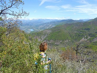
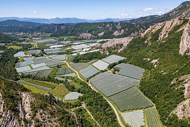
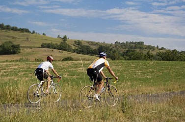
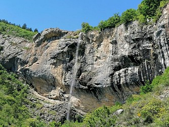
All along this short, hot and wild hike, the path overlooks the Durance valley and its orchards. During the ascent, the Mediterranean vegetation and the remarkable view offer a pleasant surrounding.The  Bec de Crigne is a Natura 2000 site for the particularly rich bird  species gathering at the cliffs (107 birds species). At the end of the small road (which quickly turns into a track) and just after the fruit farm, turn right at the crossroads where the Natura 2000 information panel is located. At the departure, the path runs along the orchards. The path then goes up through the undergrowth and crosses  the river sometimes. This old mule track, carved into the rock is climbing and winding along the face of spectacular cliffs. Several viewpoints of the Durance Valley punctuate the ascent. After a long series of bends, the track turns right under the cliff and pass a breach. Continue on the left in a pleasant undergrowth and arrive under the sheepfold of Basse Crigne (950 m). In the meadow under the sheepfold, the path is almost hidden and branches off to the left (it does not go up towards the sheepfold). Continue a few meters and reach a thalweg. The trail is very pleasant, fairly flat and on a balcony. Continue direction south, through old meadows that the forest is gradually recolonizing. When leaving the forest, reach a track, cross it and take the path almost immediately opposite. The path is wild and climbs parallel to the track (on its left) in the direction of Haute Crigne (please note  carefully the markings). Reach the Haute bergerie de Crigne (1130 m). Go back down by the same route.

4 h
3.9 km
Easy
Show
Les Croix par la tour
3.6 km

Les Croix par la tour

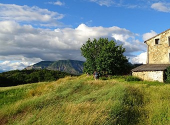
A lovely loop offering beautiful views of the western part of the Provence Highlands. The trail runs mainly along ridges and is relatively shaded.The church in Melve, the tower with its sighting tube, and a Geopark information panel add a cultural dimension to the hike. From Melve (839 m), take the uphill street that runs behind the church and alongside the cemetery. After the last house, the paved road turns into a dirt track as it follows a ridge. Leave the track to the left just past a water intake to follow a trail. Once on the plateau, follow the southern edge to the left, toward the Tower and its sighting tube. Continue north across the pastures to reach a ridge. A dizzying section through the marl requires some caution. The rest of the route follows the southern slope of the mountain, crossing three marl sections that can be tricky. On the ridge, take the trail to the left up to the summit. At the place called Les Croix (1,412 m), continue along the trail to the west. It follows the ridge all the way. Below Tête de Boursier (1,235 m), a short round trip (10 min) offers a beautiful view. Alternatively, take the descending trail, starting through an oak grove, then through steep pastures. A slightly steeper section through marl, followed by more shaded areas, will lead to the paved road (D 104). At Chemin de la Plane (855 m), follow the paved road toward Melve. At the hamlet of Le Serre, take the trail (a sunken path at the start) that climbs to the left. After a short walk, you’ll reach the Plateau de la Tour de Melve, leading to Point 2. Take the same path back down in the opposite direction.

5 h
9.9 km
Easy
Show
Le circuit des fermes
3.6 km

Le circuit des fermes

This loop trail takes you past a cluster of farms that primarily raise sheep. It’s an easy hike, but the length of the route should be taken into account. An excellent mid-season hike through wide-open landscapes. In Melve, take the street opposite the church that winds its way downhill between the houses. As you leave the village, continue on to reach the Sigoyer road and follow it to the right. In the hamlet of Les Baudes, leave the road and turn left behind the houses onto a trail that, after crossing a wooded ridge, runs alongside a brand-new solar power plant, which is still under construction as of today. After a small pass near the Plaines farm, the path enters a pine forest. 800 m further on, it crosses fields (watch out for sheep) and continues along a small paved road. Leave it to the right via a trail near a power line. Descend to the footbridge spanning the Syrièz ravine and climb back up the other side to the road. A small stone cairn marks the start of this trail. Take the paved road to the right and pass in front of the Masses farm, where the road turns into a dirt track to cross the Syrièz again. A long climb follows to reach the road from Melve to Sigoyer. Follow it 150 m to the right and take a dirt track, then a trail that cuts across a bend in the road to reach Sigoyer. In Sigoyer, below the school, head up to the church square. An orientation table offers a panoramic view of Mount Lure, Mont Ventoux, and the Baronnies Provençales. An interactive kiosk tells the story of the castle. Take the stairs below the orientation table to reach a trail on the right that leads beneath the castle to the Corpatasse ridge. At Corpatasse (760 m), continue along the trail, leaving the path descending toward Les Sagnières on your right. After 200 m, the trail ends and turns into a footpath as it enters the pine forest. Once in Chantemerle, ignore the trail descending toward Thèze and Le Mouson and take the path to the right, which turns into a trail just below the old Mitouret farm. Head back up the paved road, passing in front of the Fouquetis farm, and leave it at the next bend. A trail crosses a small ravine and leads to a water intake. Continue along the track, turning left twice. Pass in front of the Verdillon farm and, still following the track, reach the Cabusse and Prédannau farms. Leave the paved road on your right and, staying on the trail, arrive at the Forest farm. Across from it, take a trail that is barely marked at first and leads into the woods until it reaches a draye (an ancient path used by sheep herds); follow it up to the ridge and continue left toward the Tât farm. Pass by a water reservoir and you’ll quickly reach the hamlet of Les Baudes, where the trail rejoins the starting point of the hike.

6 h
18 km
Easy
Show
La Blachère by mountain bike - Heading south
6.6 km

La Blachère by mountain bike - Heading south

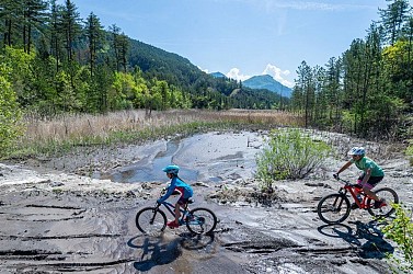
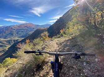
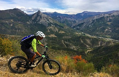
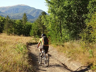
Mount Blachère overlooks La Motte-du-Caire. After warming up on a small road at the bottom of the valley and climbing the mountain via a forest trail, you reach three marked mountain bike trails on each of the slopes. Here, head south on Trail No. 6, crossing along a beautiful path, before a descent through the woods down to La Gypière. The return trip follows a trail through the valley. Pass through the village of La Motte du Caire (700 m) toward Le Caire, then, after the health center, turn right onto the Chemin de Sainte-Anne (mountain bike trail marker #6). The small road descends to the river and crosses it via a footbridge. Turn right. Pass under the soccer field and the campground, and continue along the river. Opposite the glider airfield (on the other bank), leave the road and take the trail ascending to the left. Climb up the Naples forest trail. After a somewhat steep start, the trail levels off. During the ascent, pass two other trails on the right and one on the left, then follow a fairly smooth climb through the robinia trees to reach a pass. Leave the trail and Route No. 5 to take the path on the right toward “La Gypière.” After a balcony-like traverse through the eastern-facing undergrowth (with a few sloping sections), reach a new pass. Pass route no. 7 on your left, which heads toward Clamensane, and continue straight ahead. A beautiful, fun descent through the woods awaits you down to the Gypière valley. Pass in front of the old plaster kiln and reach the road. At La Gypière (655 m), follow the road to the right. At “Bas Plan,” take the path on the right that passes in front of the farm. Follow the trail and reach point 1 via the valley. Return to the starting point via the same route taken on the way there.

3 h
18 km
Easy
Show

What to do in Claret

See more suggestions
Book your activities in Claret and experience memorable moments.
See more suggestions
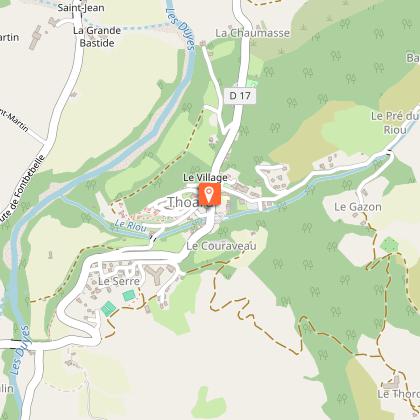
Camping du Moulin de Thoard
28 km

Camping du Moulin de Thoard

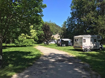
Fabrice and Marie receive you in their campsite in the heart of Provence. Located 900 m away from the hilltop village of Thoard, the Moulin de Thoard campsite is a haven of peace surrounded by nature. Come enjoy the benefits of the Duyes valley. For one night or for longer stays, you will find peace and quiet in our magnificent human-size campsite located in the heart of Provence. In this fast-paced society, it is increasingly difficult to find real time for yourself. When taking over the Moulin de Thoard campsite, we wanted to put forward values that are precious to us, such as benevolence, solidarity and authenticity. It is through our exchanges that we wish to share moments of well-being with you. Here, you will find a calm and restful place in the middle of a natural setting. The valley of Thoard is set back from the main tourist routes, which allows it to keep its authenticity. We buy from local producers, breeders and shops, to offer you quality products in our campsite. This way, we favour short supply chain, limiting our environmental impact as much as possible. We are also very concerned about your well-being and the quality of our reception. Your arrival is for us a privileged moment to which we give all our attention. After a few administrative formalities and safety instructions, we will accompany you to your pitch or rental accommodation. We will show you all the facilities of the campsite so that you can fully enjoy it. Our campsite has: 3 huts, 1 chalet, 1 chalet on stilts, 1 perched caravan, 2 mobile homes, 1 tipi, 1 lodge tent, 1 Safari tent. The campsite is also open to motorhomes within the limits of the allocated space. A service area is provided by the village outside the campsite. You will find all the information you need to prepare your stay on our website. Do not hesitate to contact us for further information. Welcome !

8 route Le Planas 04380 Thoard
Book from 1.5 EURBook
Show

IGN cards

3339OT - SISTERON LARAGNE-MONTEGLIN   MONTAGNE DE CHABRE
3339OT - SISTERON LARAGNE-MONTEGLIN MONTAGNE DE CHABRE
Editor : IGN
Collection : TOP 25 ET SÉRIE BLEUE
Scale : 1:25 000
13.90€
3339ET - LA MOTTE-DU-CAIRE VALLEE DU SASSE
Editor : IGN
Collection : TOP 25 ET SÉRIE BLEUE
Scale : 1:25 000
13.90€
TOP75009 - DIOIS DEVOLUY HAUTE VALLEE DE LA DROME
Editor : IGN
Collection : TOP 75
Scale : 1:75 000
9.80€
VEL03 - LE VAUCLUSE A VÉLO
Editor : IGN
Collection : DECOUVERTE A VELO
Scale : 1:100 000
9.10€
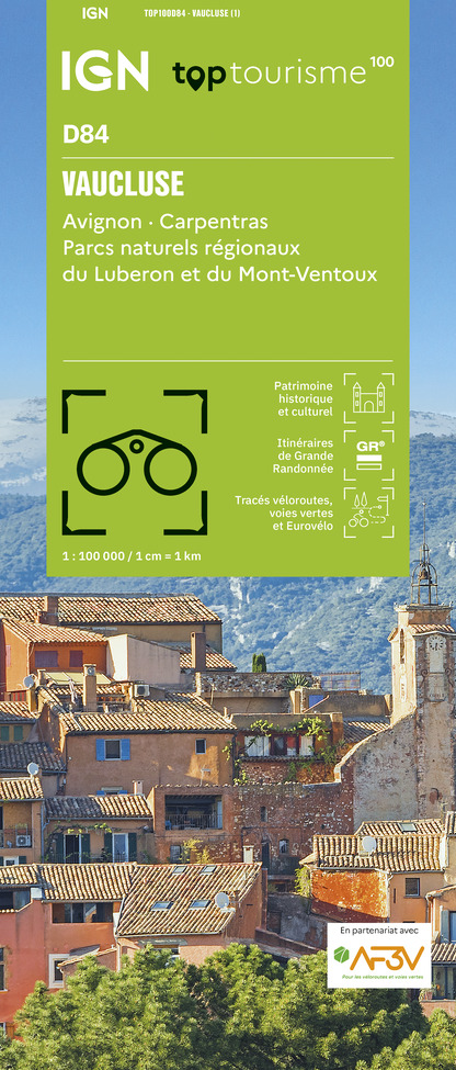
TOP100D84 - VAUCLUSE AVIGNON CARPENTRAS PARCS NATURELS RÉGIONAUX DU LUBERON ET DU MONT-VENTOUX
Editor : IGN
Collection : TOP 100
Scale : 1:100 000
8.40€
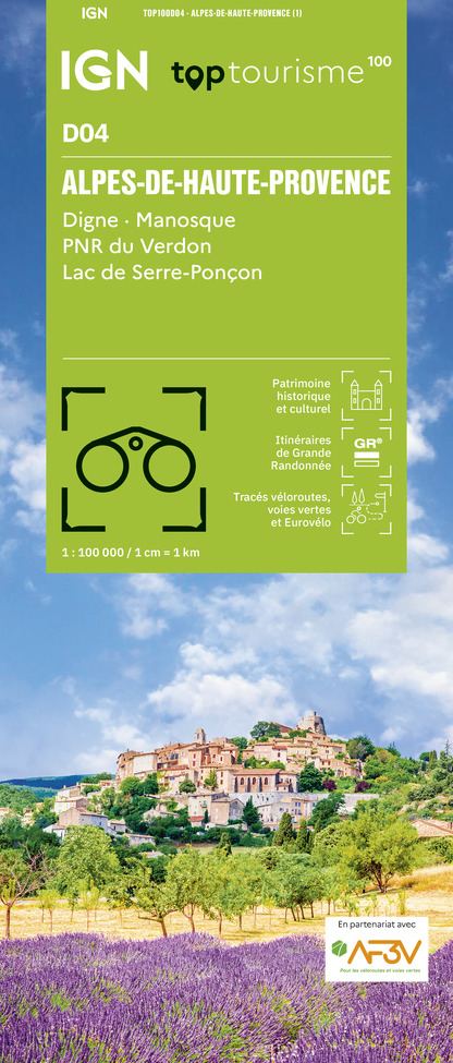
TOP100D04 - ALPES-DE-HAUTE-PROVENCE DIGNE MANOSQUE PNR DU VERDON LAC DE SERRE-PONÇON
Editor : IGN
Collection : TOP 100
Scale : 1:100 000
8.40€
D06 ALPES-MARITIMES
D06 ALPES-MARITIMES
Editor : IGN
Collection : CARTES DÉPARTEMENTALES IGN
Scale : 1:150 000
5.90€
D04-05 ALPES-DE-HAUTE-PROVENCE HAUTES-ALPES
Editor : IGN
Collection : CARTES DÉPARTEMENTALES IGN
Scale : 1:150 000
5.90€
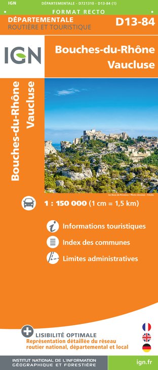
D13-84 BOUCHES-DU-RHÔNE  VAUCLUSE
D13-84 BOUCHES-DU-RHÔNE VAUCLUSE
Editor : IGN
Collection : CARTES DÉPARTEMENTALES IGN
Scale : 1:150 000
5.90€
NR16 PROVENCE-ALPES-CÔTE D'AZUR
Editor : IGN
Collection : CARTES RÉGIONALES IGN
Scale : 1:250 000
6.80€
NR14 AUVERGNE-RHÔNE-ALPES RECTO/VERSO MASSIF CENTRAL
Editor : IGN
Collection : CARTES RÉGIONALES IGN
Scale : 1:250 000
6.80€
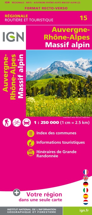
NR15 AUVERGNE-RHÔNE-ALPES RECTO/VERSO MASSIF ALPIN
Editor : IGN
Collection : CARTES RÉGIONALES IGN
Scale : 1:250 000
6.80€
EUROPE
EUROPE
Editor : IGN
Collection : DÉCOUVERTE DES PAYS DU MONDE IGN
Scale : 1:2 500 000
7.00€

What to visit in Claret

See more suggestions
Walk along the picturesque streets of Claret.
See more suggestions
Where to eat in Claret

See more suggestions
Explore the culinary traditions of Claret.
See more suggestions
The Mill Inn
29 km

The Mill Inn

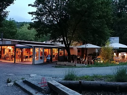
You will taste the sisters' cooking! A unique menu, which varies according to the rows in the vegetable garden and the market stalls. Fresh herbs, seasonal fruit and vegetables, colours of the sun: a real cocktail for inspiration. Don't forget to book! The old mill is a large family house that opens its doors to you in a soothing setting, in the middle of the fields. Between Gap and Embrun, south of Grenoble and just an hour from Briançon, come and take a break in the peace and quiet between Provence and the mountains... The table : The red check tablecloths and the rustic yet feminine decoration set the tone all year round. But as soon as the weather is fine, it is in the shade of the large plane tree in the courtyard that you can enjoy lunch. The fountain sings, the colours of the flowering balconies explode and you can enjoy a nap in the deckchairs... Are you coming for dinner? Then it's under the trellis, just at dusk and around the aperitif that you'll start the evening before leaving the crickets in the garden to return to the table. Winter also delights the guests, warm behind the large bay windows to watch the snowflakes fall and the countryside transform into silence. - The kitchen: Fresh herbs, seasonal fruit and vegetables, the colours of the sun: a real cocktail for inspiration. You'll get a taste of the sisters' cooking! A unique menu, which varies according to the rows of the vegetable garden and the market stalls. For the main course, however, it will be poultry: a speciality! Chickens, pigeons, ducks, quails... always something new. A gourmet dessert to finish? Profiteroles, lemon pie, citrus salad, pear soufflé, strawberry and peach gratin are also part of the recipe booklet and everything is "homemade"! The meal is served with a regional wine, but the cellar offers a wide range of choices. It is necessary to book at least the day before, as you will only eat fresh products! - The gîtes and guest rooms: We also welcome you in our gîtes. The Auberge du Moulin offers you to spend the night in a large, quiet, cosy and bright room. For more space and autonomy, two 2-seater gîtes are at your disposal with a living room/TV area, a small fully equipped kitchen and a bathroom with bathtub and separate toilet. Contact us now!

La Plaine 05230 Montgardin
Show

Where to sleep in Claret

See more suggestions
Explore lodging possibilities in Claret.
See more suggestions
Camping du Moulin de Thoard
28 km

Camping du Moulin de Thoard

Fabrice and Marie receive you in their campsite in the heart of Provence. Located 900 m away from the hilltop village of Thoard, the Moulin de Thoard campsite is a haven of peace surrounded by nature. Come enjoy the benefits of the Duyes valley. For one night or for longer stays, you will find peace and quiet in our magnificent human-size campsite located in the heart of Provence. In this fast-paced society, it is increasingly difficult to find real time for yourself. When taking over the Moulin de Thoard campsite, we wanted to put forward values that are precious to us, such as benevolence, solidarity and authenticity. It is through our exchanges that we wish to share moments of well-being with you. Here, you will find a calm and restful place in the middle of a natural setting. The valley of Thoard is set back from the main tourist routes, which allows it to keep its authenticity. We buy from local producers, breeders and shops, to offer you quality products in our campsite. This way, we favour short supply chain, limiting our environmental impact as much as possible. We are also very concerned about your well-being and the quality of our reception. Your arrival is for us a privileged moment to which we give all our attention. After a few administrative formalities and safety instructions, we will accompany you to your pitch or rental accommodation. We will show you all the facilities of the campsite so that you can fully enjoy it. Our campsite has: 3 huts, 1 chalet, 1 chalet on stilts, 1 perched caravan, 2 mobile homes, 1 tipi, 1 lodge tent, 1 Safari tent. The campsite is also open to motorhomes within the limits of the allocated space. A service area is provided by the village outside the campsite. You will find all the information you need to prepare your stay on our website. Do not hesitate to contact us for further information. Welcome !

8 route Le Planas 04380 Thoard
Book from 1.5 EURBook
Show
Caution!
We have no information on the difficulty of this circuit. You may encounter some surprises along the way. Before you go, please feel free to inquire more and take all necessary precautions. Have a good trip! 🌳🥾