Tours
Activities
Places of interest
Where to eat
Where to sleep
Explore Salleles-cabardes: gems of Languedoc-Roussillon
Are you in charge of the destination?Nestled in the heart of Aude, Salleles-cabardes invites you to explore a region rich in history and breathtaking landscapes. Begin your journey by immersing yourself in the wonders of nature: the surrounding lush forests are perfect for hiking. The marked trails will guide you through stunning biodiversity, ideal for nature lovers and budding photographers.
Nearby, let yourself be charmed by t...See more
Nearby, let yourself be charmed by t...See more
Walking around Salleles-cabardes
See more suggestionsExplore the parks and paths of Salleles-cabardes.
See more suggestions


")


What to do in Salleles-cabardes
See more suggestionsBook your activities in Salleles-cabardes now and get ready for adventure.
See more suggestions


IGN cards
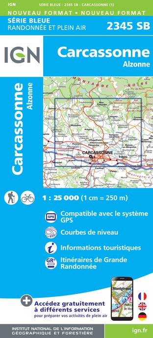
2345SB - CARCASSONNE ALZONNE
Editor : IGN
Collection : TOP 25 ET SÉRIE BLEUE
Scale : 1:25 000
13.90€
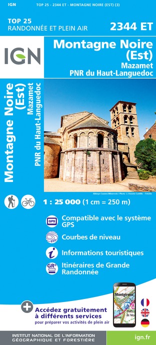
2344ET - MONTAGNE NOIRE (EST) MAZAMET PNR DU HAUT-LANGUEDOC
Editor : IGN
Collection : TOP 25 ET SÉRIE BLEUE
Scale : 1:25 000
13.90€

TOP100D11 - AUDE CARCASSONNE NARBONNE LIMOUX QUILLAN CANAL DU MIDI
Editor : IGN
Collection : TOP 100
Scale : 1:100 000
8.40€

89031 - LE CANAL DU MIDI
Editor : IGN
Collection : DECOUVERTE DES CHEMINS
Scale : 1:100 000
9.10€

D11-81 AUDE TARN
Editor : IGN
Collection : CARTES DÉPARTEMENTALES IGN
Scale : 1:150 000
5.90€

D09-66 ARIÈGE PYRÉNÉES-ORIENTALES
Editor : IGN
Collection : CARTES DÉPARTEMENTALES IGN
Scale : 1:150 000
5.90€

EUROPE
Editor : IGN
Collection : DÉCOUVERTE DES PAYS DU MONDE IGN
Scale : 1:2 500 000
7.00€
What to visit in Salleles-cabardes
See more suggestionsVisit the iconic landmarks of Salleles-cabardes.
See more suggestions


Where to eat in Salleles-cabardes
See more suggestionsThe cuisine of Salleles-cabardes is a must-try.
See more suggestions


Where to sleep in Salleles-cabardes
See more suggestionsBook a pleasant stay in Salleles-cabardes.
See more suggestions


