Tours
Activities
Places of interest
Where to eat
Where to sleep

Experience Sospel with Camping Le Mas Fleuri Restaurant Le Saint Dona

Are you the owner?
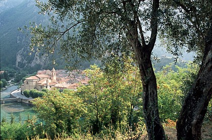
Welcome to the beautiful region of Sospel, nestled in the heart of the Alpes-Maritimes in Provence-Alpes-Côte d'Azur. Surrounded by mountains and verdant hills, Sospel is an ideal destination for nature and history enthusiasts.
Discover the medieval village of Sospel with its picturesque cobbled streets, the 12th-century old bridge, and Saint-Michel Cathedral, a baroque architectural gem.
Hike...
See more

Walking around CAMPING LE MAS FLEURI RESTAURANT LE SAINT DONA

See more suggestions
Embark on a hike in CAMPING LE MAS FLEURI RESTAURANT LE SAINT DONA.
See more suggestions
Mountain bike tour (AE) Brouis pass - Mount Grazian panorama
5.8 km

Mountain bike tour (AE) Brouis pass - Mount Grazian panorama

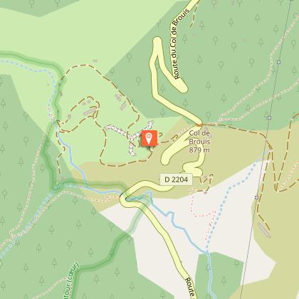
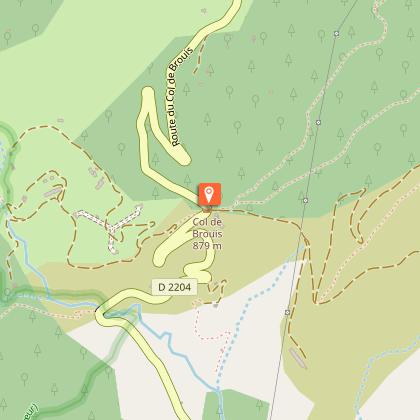
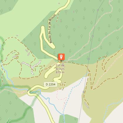
Superb ridge walk on a track, technically easy and short. Arrival at the top of Mount Grazian, breathtaking 360° view of the sea to the south and the eastern end of the Mercantour with Mount Bego and the Marguareis massif to the extreme north-east. Park at the Col de Brouis, altitude 879 m, located between Sospel and Breil-sur-Roya on the RD 2204. The view is already magnificent, with the village of Saorge clinging to the steep slopes opposite you on the north side. You can also choose to cycle to the Col de Brouis from Breil on the RD 2204, or on the GR 52A, or from Sospel. Marker 124. Take the track that leaves on the north side to the left of the inn. It will pass quickly to the south. Continue straight ahead (do not take the track that goes left towards the antennas and the cime du Bosc). You follow the GR52 A route up to the marker 119 at the Col de Paula. There, the GR will go down on the right by a path, You take the right track. (The track on the left leads to the very pretty perched hamlet of Piene-Haute: on the way back you can choose to make a detour to visit this eagle's nest, its churches and chapel and its castle, and enjoy the breathtaking view). Along the way you will see some old border markers. A few hairpin bends and you are at the top of Mount Grazian, which dominates Sospel and its fields, nothing stopping your vision, Mount Grazian being an isolated summit. Return by the same route. Remember to take water, the route is in full sun. Avoid the hottest hours of the day in midsummer; in summer, early mornings or evenings are best.

2 h
5.9 km
Col de Brouis 06540 Breil-sur-Roya
Show
Hiking: Notre-Dame du Mont loop
8.6 km

Hiking: Notre-Dame du Mont loop

A lovely walk for families, in a bucolic setting along the small Lavina stream, culminating in the magnificent site of the Notre-Dame du Mont chapel nestled among the multi-centenary olive trees of Breil. From the Breil tourist office, turn right onto the RD 6204 to cross Lac de Breil via the Pont Charabot. Go straight up and under the railroad viaduct (marker 7), and turn left at the crossroads. Immediately take the Chemin des Gravères, marker 7a, on your right. This little footpath initially weaves its way between houses, then narrows and approaches the Lavina torrent, which you cross on a cement bridge. The path continues to run parallel to the torrent, then bends and climbs to the right, leading to a track. Keep to the right and you'll soon reach the small road to Notre-Dame du Mont. The chapel is there, on your right by the roadside: take a picnic break, nap or enjoy a pleasant snack under the olive trees! Head back down to Breil on the quiet little road that offers magnificent views of the village, its lake and the summit of Arpette. Don't miss the shortcut via the montée de la Croix on your right, marker 8a (on the left of the road), a flight of stairs between houses and olive trees that takes you to the avenue de l'Authion (marker 8), and back to your starting point on the right. If you wish, you can turn left once you've reached Avenue de l'Authion, to admire the colorful little chapel of Saint-Antoine de Padoue a little further to your left, and catch a glimpse of the Romanesque bell tower of Saint-Jean.

1 h
2.6 km
Very easy
Place Biancheri 06540 Breil-sur-Roya
Show

What to do in CAMPING LE MAS FLEURI RESTAURANT LE SAINT DONA

See more suggestions
Plan your leisure time in CAMPING LE MAS FLEURI RESTAURANT LE SAINT DONA by booking activities that suit your preferences.
See more suggestions
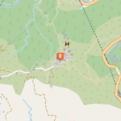
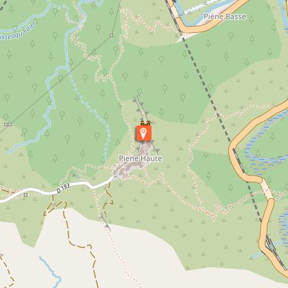
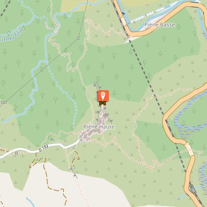
Piène Haute hamlet
7.2 km

Piène Haute hamlet

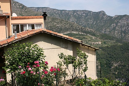
The hamlet of Piène Haute has 60 inhabitants in the winter and 150 in the summer. The ruins of the old castle testify to its age. Its name «Piène Haute» has sparked many debates during this long history. Primitively “Penna” and then “Penna Alta” (some translate «Piène Haute») it has turned into «Piena» not to confuse it with another «Penna», located in Abruzzo. The name of Piène Haute was definitively retained in 1947 when it came to France. The hamlet of Piène-Haute (600 m altitude) is relatively isolated due to its original military location (a medieval Genoese stronghold). Access by road was only created after the village became part of France. The village overlooks the Roya on a 200m-high cliff, with a very wide view of the Mercantour peaks and the sea. The village as a whole is spectacular, both for its linear layout and for the well-preserved homogeneity of its appearance. The church of Saint-Marc, a Historic Monument, features Baroque Ligurian decoration from the early 18th century. The Chapel of the White Penitents (Monuments Historiques) has preserved its neo-Gothic decor from the late 19th century. The small houses in the hamlet, like the roads, are carefully maintained and planted with flowers by the locals, who maintain a pleasant overall unity. Château de Piène-Haute (private) is a former Genoese stronghold of medieval origin (11th-17th centuries), built on a rocky ridge at the end of the hamlet, overlooking the Roya.

06540 Breil-sur-Roya
Book from 0 €Book
Show

What to visit in CAMPING LE MAS FLEURI RESTAURANT LE SAINT DONA

See more suggestions
Visit the museums and galleries of CAMPING LE MAS FLEURI RESTAURANT LE SAINT DONA.
See more suggestions
Col de Castillon - Site of ancient villages
5.9 km

Col de Castillon - Site of ancient villages

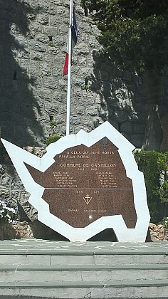
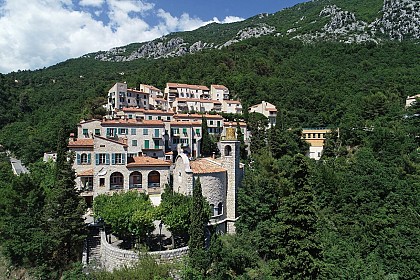
Col de Castillon. Site of two ancient villages of Castillon, with the remains of the old church. A loop allows to make the tour of the old village. Magnificent panoramic view. Starting point of hikes and pass appreciated by cyclists. "Castillionum" was created in 1157 by the Consuls of Sospel to protect the Sospel people from Lombard and Saracen invasions. the Sospel people from Lombard and Saracen invasions. Castillon then became the property of the Counts of Ventimiglia, the Consul Vento de Menton before being attached to the Lord of the Consul Vento of Menton before being attached again to the Lord of Sospel. In 1348, the village became part of the Principality of Monaco then, in 1376, it was once again the property of the Lord of Sospel, then under the domination of the House of Savoy. In 1793, Castillon became French. An earthquake destroyed the village on 23 February 1887. In the 1930s, a Maginot Line fort was built under the ruins of the village of a fort of the Maginot line intended to stop the possible Italian attacks. This fort was only used for a few days in June 1940. It was nevertheless. Nevertheless, it was the target of Allied bombing raids in 1944 to repel German troops.It should be noted that the cross on the former Place Saint Joseph was stolen between the two world wars and was recently put back in place (May 2010). Rebuilt on almost the same site, below, in 1888, the village of Castillon was bombed in 1944 by the Allied fleet in order to liberate the area then occupied by German and Italian forces. As the Fort was a potential target in the years following the end of the war, the years after the end of the war, no one was allowed to resettle and the village was razed to the ground.

06500 Castillon
Show
Piène Haute hamlet
7.2 km

Piène Haute hamlet

The hamlet of Piène Haute has 60 inhabitants in the winter and 150 in the summer. The ruins of the old castle testify to its age. Its name «Piène Haute» has sparked many debates during this long history. Primitively “Penna” and then “Penna Alta” (some translate «Piène Haute») it has turned into «Piena» not to confuse it with another «Penna», located in Abruzzo. The name of Piène Haute was definitively retained in 1947 when it came to France. The hamlet of Piène-Haute (600 m altitude) is relatively isolated due to its original military location (a medieval Genoese stronghold). Access by road was only created after the village became part of France. The village overlooks the Roya on a 200m-high cliff, with a very wide view of the Mercantour peaks and the sea. The village as a whole is spectacular, both for its linear layout and for the well-preserved homogeneity of its appearance. The church of Saint-Marc, a Historic Monument, features Baroque Ligurian decoration from the early 18th century. The Chapel of the White Penitents (Monuments Historiques) has preserved its neo-Gothic decor from the late 19th century. The small houses in the hamlet, like the roads, are carefully maintained and planted with flowers by the locals, who maintain a pleasant overall unity. Château de Piène-Haute (private) is a former Genoese stronghold of medieval origin (11th-17th centuries), built on a rocky ridge at the end of the hamlet, overlooking the Roya.

06540 Breil-sur-Roya
Book from 0 €Book
Show

Where to eat in CAMPING LE MAS FLEURI RESTAURANT LE SAINT DONA

See more suggestions
Discover the culinary diversity of CAMPING LE MAS FLEURI RESTAURANT LE SAINT DONA.
See more suggestions
Where to sleep in CAMPING LE MAS FLEURI RESTAURANT LE SAINT DONA

See more suggestions
Discover popular accommodations in CAMPING LE MAS FLEURI RESTAURANT LE SAINT DONA.
See more suggestions
Caution!
We have no information on the difficulty of this circuit. You may encounter some surprises along the way. Before you go, please feel free to inquire more and take all necessary precautions. Have a good trip! 🌳🥾