Tours
Activities
Places of interest
Where to eat
Where to sleep
Uncover Chorges specialties at La Valiere
Are you the owner?Nestled in the heart of the Hautes-Alpes, La Valiere invites you to explore Chorges, a true gem in the Provence-Alpes-Côte d'Azur region. Discover the majestic Lake Serre-Ponçon, one of the largest artificial lakes in Europe, perfect for water activities like sailing, kayaking, or paddleboarding. Hiking enthusiasts will love the trails leading to the Pic de Morgon, offering breathtaking panoramic ...See more
Walking around LA VALIERE
See more suggestionsExplore the parks and paths of LA VALIERE.
See more suggestions


What to do in LA VALIERE
See more suggestionsExplore the bookable activity options in LA VALIERE for all tastes and ages.
See more suggestions


IGN cards

3438ETR - EMBRUN LES ORRES RESISTANTE LAC DE SERRE-PONÇON
Editor : IGN
Collection : TOP 25 RÉSISTANTE
Scale : 1:25 000
17.20€
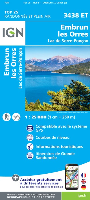
3438ET - EMBRUN LES ORRES LAC DE SERRE-PONÇON
Editor : IGN
Collection : TOP 25 ET SÉRIE BLEUE
Scale : 1:25 000
13.90€
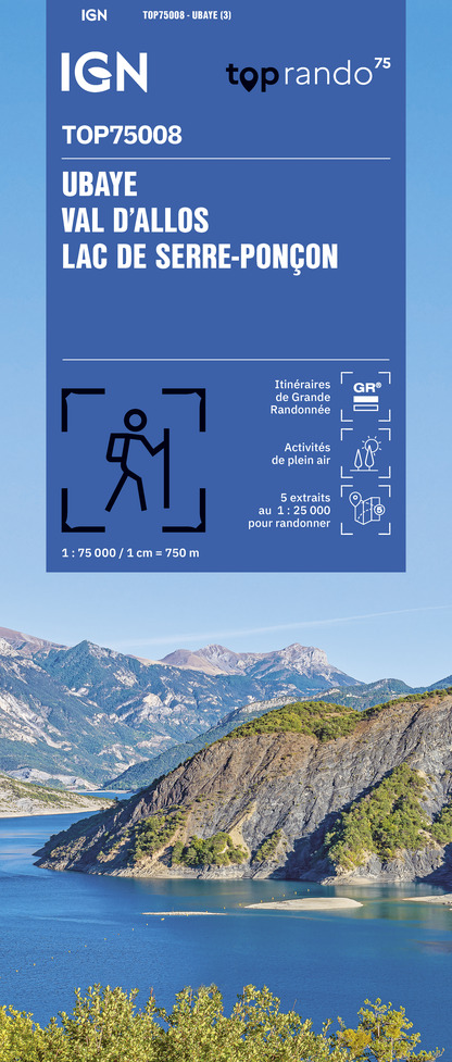
TOP75008 - UBAYE VAL D'ALLOS LAC DE SERRE-PONCON
Editor : IGN
Collection : TOP 75
Scale : 1:75 000
9.80€

TOP75006 - MASSIF DES ECRINS OISANS CHAMPSAUR
Editor : IGN
Collection : TOP 75
Scale : 1:75 000
9.80€

TOP100D04 - ALPES-DE-HAUTE-PROVENCE DIGNE MANOSQUE PNR DU VERDON LAC DE SERRE-PONÇON
Editor : IGN
Collection : TOP 100
Scale : 1:100 000
8.40€

D38 ISÈRE
Editor : IGN
Collection : CARTES DÉPARTEMENTALES IGN
Scale : 1:150 000
5.90€

D04-05 ALPES-DE-HAUTE-PROVENCE HAUTES-ALPES
Editor : IGN
Collection : CARTES DÉPARTEMENTALES IGN
Scale : 1:150 000
5.90€

NR14 AUVERGNE-RHÔNE-ALPES RECTO/VERSO MASSIF CENTRAL
Editor : IGN
Collection : CARTES RÉGIONALES IGN
Scale : 1:250 000
6.80€

NR16 PROVENCE-ALPES-CÔTE D'AZUR
Editor : IGN
Collection : CARTES RÉGIONALES IGN
Scale : 1:250 000
6.80€

NR15 AUVERGNE-RHÔNE-ALPES RECTO/VERSO MASSIF ALPIN
Editor : IGN
Collection : CARTES RÉGIONALES IGN
Scale : 1:250 000
6.80€

EUROPE
Editor : IGN
Collection : DÉCOUVERTE DES PAYS DU MONDE IGN
Scale : 1:2 500 000
7.00€
What to visit in LA VALIERE
See more suggestionsVisit the iconic landmarks of LA VALIERE.
See more suggestions


Where to eat in LA VALIERE
See more suggestionsChefs in LA VALIERE will delight you.
See more suggestions


Where to sleep in LA VALIERE
See more suggestionsDiscover the best lodging options in LA VALIERE.
See more suggestions


