Tours
Activities
Places of interest
Where to eat
Where to sleep

Discover La biolle and Wonders at CAMPING LE MEYRIEUX

Are you the owner?
Welcome to La biolle, nestled in the heart of Savoie, in the stunning Rhône-Alpes region. During your stay at CAMPING LE MEYRIEUX, take advantage of the numerous local attractions that will make your visit unforgettable. Start your day with a walk around the shores of Lake Bourget, the largest natural lake in France, perfect for water activities or simply enjoying the breathtaking views. Hiking en...See more

Walking around CAMPING LE MEYRIEUX

See more suggestions
Family walks around CAMPING LE MEYRIEUX.
See more suggestions
Centre VTT-FFC de l'Albanais - Circuit n°10 'Entre Monts et Etangs'
3.5 km

Centre VTT-FFC de l'Albanais - Circuit n°10 'Entre Monts et Etangs'

Explore protected plants and wildlife along this ride around the Etangs de Crosagny. In front of the train station, head west to join the RD 1201 towards Saint Germain La Chambotte. When you reach the playground, turn right onto the 'rue de Savoie', then continue along the 'route de Pouilly'. Continue along this road, then turn right onto a path across fields. When you reach the hamlet of Futenex, continue along the 'route de Cessens' before turning onto the 'chemin des Crochets'. On your right, go around the farm, crossing fields to rejoin the hamlet of 'les Granges'. At the junction, continue straight on along the 'chemin des Granges', which will pass through the forest for a significant stretch. After a short distance above the hamlet of 'Collonges', take a wooded path towards the north, until you reach the hamlet of 'les Crouteaux'. Turn onto the 'chemin des Crouteaux' until you reach the source of the Combe, then continue west along a path through the fields. At the junction with the Circuit Noir n°11, turn right towards the hamlet of 'Montdurand', then turn right along a farm to rejoin the path between Saint German La Chambotte and Cessens. At the intersection with the Circuit Noir n°11, turn right onto an uphill path through the woods, until you rejoin the source of the Combe. Next, turn left along a path until you reach the hamlet of Dressy and the junction with the RD 54. Turn right towards the hamlet of 'Ansigny', then, once you reach the bread oven, turn left onto a path through fields until you reach the hamlet of 'Mazet'. After a short distance, take the 'chemin de Ballentrand' towards Bloye. At the junction with the RD 910, continue straight on along the 'route du Petit Salagine', then cross the railway to reach the 'chemin des Etangs'. Continue along this path until you reach the Etangs de Crosagny, then head towards the Moulin de Crosagny. At the windmill; turn right onto a path through fields until you reach the 'route de Braille'. Take the wooded path opposite until you reach the Stade Sportif de Saint Félix and continue towards the centre of the village. At the crossroads with the RD 1201, turn right before turning onto the 'rue de Saint Girod'. Cross the motorway and turn left after the bridge. Next, turn right along a wooded path towards Saint Girod and the hamlet of 'Chamberaz'. Once you reach the hamlet, follow signs towards Chainaz-les-Frasses, then take another path until you reach the hamlet of 'Les Lansards'. Once you reach the hamlet, turn right towards the administrative centre of Saint Girod, then take the final road on the left as you leave. Next, continue through fields to reach the administrative centre of Saint Girod. In front of the Town Hall, head south towards Aix-les-Bains, then turn right onto a path as you leave the hamlet. Continue along this path until you reach the motorway underpass, then head north towards 'La Deysse'. Cross the river, then, at the intersection with the 'route d'Orly', cross the railway to take the 'chemin Sous-Bois' to return to the Albens train station.

3 h
33 km
Hard
chef lieu Albens 73410 Entrelacs
Show
Tour du Sapenay
4.6 km

Tour du Sapenay

The “Sapenay Tour” walk will take you through the forest and on a nice scenic road – great views over the Lac du Bourget guaranteed! The trail starts just before the Chapel, on the parking lot named “La Carrière”. Yellow signs will indicate either “Tour du Sapenay” or “Col du Sapenay”. Take the large forest trail at the end of the parking lot. When you reach “Les Masures” (yellow signs), go straight towards “Col du Sapenay“. On the way, a viewpoint will let you admire remote parts of Cessens as well as the Bauges mountain range. You will then come to another yellow sign, named “Le Tuyau”. From here you can either follow the normal hike or take the alternate – and shorter – one. If you decide to go for the main one, keep going straight, still towards “Col du Sapenay“. The trails slightly goes up to “Pre Reinet” then goes down to a forest road in Le Sapenay. The walk continues on a paved and scenic road across the Sapenay site. After nearly 2,5km, you will reach a sharp turn : take a left into the stony trail and then a right at the crossraod called “Fornay”. Following this path, you will arrive to a little chapel, right next to the parking lot you departed from. Comment: there are a few sightseeing areas along the road – paragliding, hang gliding, view points over the Lac du Bourget and the Chautagne area. It is highly recommended to take the time and check them out. Alternate “Sapenay Tour” If you prefer the shorter walk, take the trail on your left at the crossroad called “Le Tuyau”. This is a forest path, going up in the forest and along the Sapenay meadows. You will discover a beautiful view over the Lac du Bourget at the place called “Fornay” (with yet some other yellow signs). Follow the trail straight ahead. It will lead you to a small chapel and back to your car.

3 h
7.8 km
Easy
Parking de la Carrière Cessens 73410 Entrelacs
Show

What to do in CAMPING LE MEYRIEUX

See more suggestions
Enjoy unforgettable moments in CAMPING LE MEYRIEUX by booking activities for everyone.
See more suggestions
Campsite and river activity center for Haut Rhône Sauvauge - Kanoti.
14 km

Campsite and river activity center for Haut Rhône Sauvauge - Kanoti.

A simple, pretty campsite offering shady pitches on the banks of the Haut Rhône sauvage, just 5 minutes walk from the medieval town of Yenne. Close to the great Alpine lakes : Lac d'Aiguebelette and Lac du Bourget : 20 minutes, Lac d'Annecy : 40 minutes). You'll find pitches for your tent, caravan or camper van, as well as unusual accommodation for rent. Yenne: a stopover on the Santiago de Compostela pilgrimage route and close to the ViaRhôna. On arrival at the campsite, please report to the reception chalet from 4pm. Pitches : -46 bare pitches with or without electric hook-up points -Unusual accommodation: two vintage caravans, a shared tipi, a trapper tent -Shared summer kitchen, available for touring guests (on foot, by bike, canoe, on horseback, etc.) and for guests in unusual accommodation. -Sanitary facilities: free hot showers Kanoti is a naturally human-scale company that embraces the values of slow tourism. Tourism that favors encounters between people and their environment, taking the time to meet, exchange and share. Kanoti's approach: We have chosen to equip ourselves with eco-designed unusual accommodation in France, to maintain our premises and equipment with 100% ecological products. And to offer 100% organic and local cuisine in our food truck, with our suppliers located within a 50km radius of Kanoti. Activities in the area: Kanoti also offers : -Canoeing and stand-up paddling on the wild Upper Rhône. Departures at 10 a.m., 2:30 p.m. and 5 p.m. from the campsite. -Family fishing course with facilities accessible to people with disabilities. Find out more about our activities on our facebook page: Kanoti - Camping et Base nautique du Haut Rhône In the area you'll find: -a rowing center, an equestrian center, canyons, mountain bike trails and hiking trails, -Climbing sites: the international site at La Balme (high level required), Saint-Didier and the school site at the Lierre cliff at Haut-Somont (Yenne). -The Roc de Cornillon via ferrata (Col du Chat). -Swimming nearby: Lac de Chevelu, Lac du Bourget, Lac d'Aiguebelette. A white-water slalom canoe-kayak stadium in Yenne, accessible from the campsite via the Rhône (access reserved for FFCK licensees). Access to Yenne's shops on foot, by bike or in a wheelchair -Bakeries, butchers, grocery stores, newsagents, tobacconists, bars, ice-cream parlors, restaurants, pizzerias, snack bars, pharmacies, hardware stores, supermarkets, hairdressers, bookshops, laundromats, banks... Campsite on the route of renowned itineraries: -ViaRhôna (7km from Massignieu de Rives - 1.5 km from La Balme) -Chemin de St Jacques de Compostelle -Geneva-Lyon canoe-kayak route -Chemin d'Assise -Chemin du soleil (mountain bike) Welcome Mathieu and Charlotte

Chemin du Rhône 73170 Yenne
Book from 0 €Book
Show

IGN cards

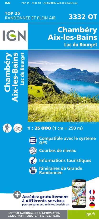
3332OT - CHAMBERY AIX-LES-BAINS LAC DU BOURGET
Editor : IGN
Collection : TOP 25 ET SÉRIE BLEUE
Scale : 1:25 000
13.90€
TOP75032 - CHAINE DES ARAVIS - MASSIF DES BAUGES
Editor : IGN
Collection : TOP 75
Scale : 1:75 000
9.80€
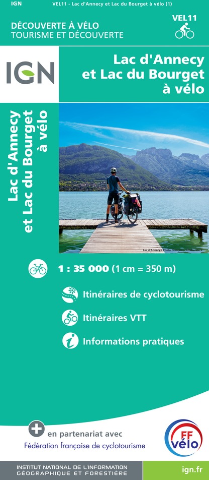
VEL11 - LAC D'ANNECY ET LAC DU BOURGET A VELO
Editor : IGN
Collection : DECOUVERTE A VELO
Scale : 1:35 000
9.10€
TOP100D74 - HAUTE-SAVOIE ANNECY THONON-LES-BAINS MASSIF DU MONT BLANC CHAÎNE DES ARAVIS
Editor : IGN
Collection : TOP 100
Scale : 1:100 000
8.40€
TOP100D01 - AIN BOURG-EN-BRESSE AMBÉRIEU-EN-BUGEY PAYS DE GEX
Editor : IGN
Collection : TOP 100
Scale : 1:100 000
8.40€
TOP100D73 - SAVOIE CHAMBÉRY ALBERTVILLE PARC NATIONAL DE LA VANOISE PNR DU MASSIF DES BAUGES
Editor : IGN
Collection : TOP 100
Scale : 1:100 000
8.40€
202 JURA ALPES DU NORD
Editor : IGN
Collection : TOP 200
Scale : 1:200 000
6.80€
89026 - GRANDES TRAVERSÉES DU JURA - GTJ
Editor : IGN
Collection : DECOUVERTE DES CHEMINS
Scale : 1:105 000
9.10€
D38 ISÈRE
Editor : IGN
Collection : CARTES DÉPARTEMENTALES IGN
Scale : 1:150 000
5.90€
D01-69 AIN RHÔNE
Editor : IGN
Collection : CARTES DÉPARTEMENTALES IGN
Scale : 1:150 000
5.90€
NR14 AUVERGNE-RHÔNE-ALPES RECTO/VERSO MASSIF CENTRAL
Editor : IGN
Collection : CARTES RÉGIONALES IGN
Scale : 1:250 000
6.80€
NR15 AUVERGNE-RHÔNE-ALPES RECTO/VERSO MASSIF ALPIN
Editor : IGN
Collection : CARTES RÉGIONALES IGN
Scale : 1:250 000
6.80€
EUROPE
Editor : IGN
Collection : DÉCOUVERTE DES PAYS DU MONDE IGN
Scale : 1:2 500 000
7.00€
SUISSE
Editor : IGN
Collection : DÉCOUVERTE DES PAYS DU MONDE IGN
Scale : 1:303 000
7.00€

What to visit in CAMPING LE MEYRIEUX

See more suggestions
Visit the historical sites of CAMPING LE MEYRIEUX.
See more suggestions

Where to eat in CAMPING LE MEYRIEUX

See more suggestions
Restaurants in CAMPING LE MEYRIEUX offer a friendly atmosphere.
See more suggestions

Where to sleep in CAMPING LE MEYRIEUX

See more suggestions
Find a comfortable stay in CAMPING LE MEYRIEUX.
See more suggestions
Caution!
We have no information on the difficulty of this circuit. You may encounter some surprises along the way. Before you go, please feel free to inquire more and take all necessary precautions. Have a good trip! 🌳🥾