Tours
Activities
Places of interest
Where to eat
Where to sleep
Unveil Hidden Gems at WOKA Marnay in Franche-Comté
Are you the owner?Welcome to our page dedicated to WOKA Marnay, a perfect starting point to explore the beauty of Marnay and its surroundings in Haute-Saône, Franche-Comté. Nestled in a region rich in nature and heritage, Marnay offers a multitude of activities for every taste. Start with a visit to the charming old town of Marnay with its picturesque alleys and half-timbered houses. Don't miss the Marnay Castle wi...See more
Walking around WOKA MARNAY
See more suggestionsExplore the hiking trails around WOKA MARNAY.
See more suggestions


What to do in WOKA MARNAY
See more suggestionsOrganize your days in WOKA MARNAY with bookable activities for the whole family.
See more suggestions


IGN cards
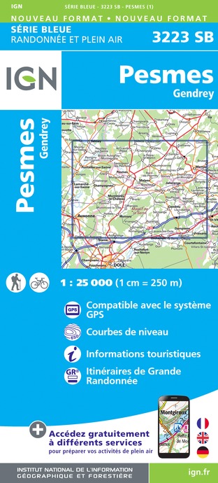
3223SB - PESMES GENDREY
Editor : IGN
Collection : TOP 25 ET SÉRIE BLEUE
Scale : 1:25 000
13.90€

TOP100D39 - JURA PAYS DE DOLE ET VAL D'AMOUR CHAMPAGNOLE LES ROUSSES PNR DU HAUT-JURA
Editor : IGN
Collection : TOP 100
Scale : 1:100 000
8.40€

TOP100D70 - HAUTE-SAÔNE VESOUL LURE VALLÉE DE LA SAÔNE
Editor : IGN
Collection : TOP 100
Scale : 1:100 000
8.40€

136 DIJON CHALON SUR SAÔNE VIGNOBLES DE BOURGOGNE
Editor : IGN
Collection : TOP 100
Scale : 1:100 000
8.40€

D70-88-90 HAUTE-SAÔNE VOSGES TERRITOIRE DE BELFORT
Editor : IGN
Collection : CARTES DÉPARTEMENTALES IGN
Scale : 1:150 000
5.90€

D25-39 DOUBS JURA
Editor : IGN
Collection : CARTES DÉPARTEMENTALES IGN
Scale : 1:150 000
5.90€
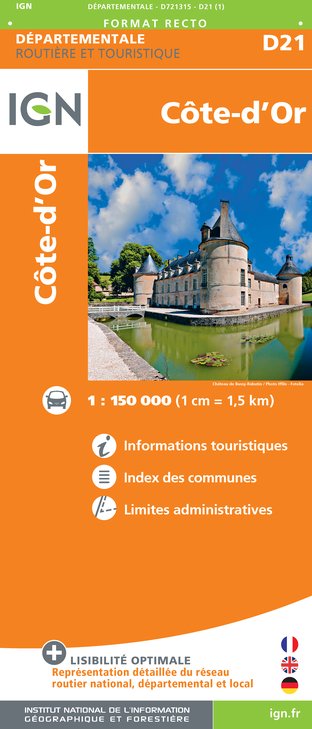
D21 CÔTE-D'OR
Editor : IGN
Collection : CARTES DÉPARTEMENTALES IGN
Scale : 1:150 000
5.90€

NR09 BOURGOGNE FRANCHE-COMTÉ
Editor : IGN
Collection : CARTES RÉGIONALES IGN
Scale : 1:250 000
6.80€

EUROPE
Editor : IGN
Collection : DÉCOUVERTE DES PAYS DU MONDE IGN
Scale : 1:2 500 000
7.00€

ALLEMAGNE
Editor : IGN
Collection : DÉCOUVERTE DES PAYS DU MONDE IGN
Scale : 1:800 000
7.00€
What to visit in WOKA MARNAY
See more suggestionsVisit the museums and galleries of WOKA MARNAY.
See more suggestions


Where to eat in WOKA MARNAY
See more suggestionsExplore the best dining spots in WOKA MARNAY.
See more suggestions


Where to sleep in WOKA MARNAY
See more suggestionsFind an ideal lodging in WOKA MARNAY.
See more suggestions


