Alert
Alerts
Path of the Druids

The Cirkwi brief
Embark on a journey through time and nature with the Druid Trail, a family-friendly circuit in the northern part of the Mormal forest. This path, devised by Nord Tourisme, takes you through the lush bocage landscape of Avesnois, revealing a world shaped by human hands and nature's whims. Along the way, discover the rich tapestry of history and mythology that connects this land to the ancient Gallo-Roman city of Bavay and its legendary forests filled with mistletoe. Feel the spirit of the druids as you wander, all while engulfed in the tranquil beauty of this transformative landscape.
Brief Technical Overview
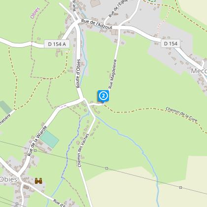
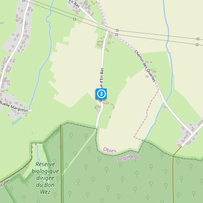
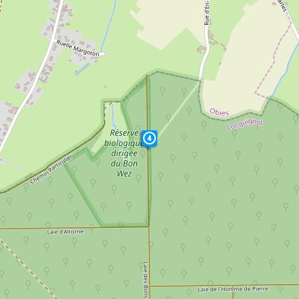
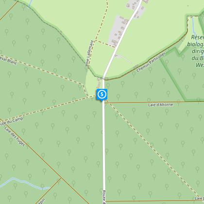
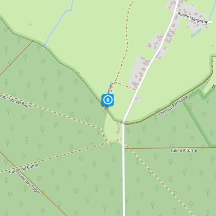
The Druid Trail is a moderate 7.3 km long journey with a minimum altitude of 126 meters and a maximum of 161 meters, creating a total positive elevation change of 61 meters. Signposted with yellow markers, the path is well-defined, guiding explorers through varied terrains. Considering the total distance and the gentle elevation gain, the circuit is accessible to walkers of all skill levels, promising an enjoyable experience without rigorous demands. Waterproof footwear is recommended during wet conditions to navigate the trails comfortably.
Seasonal Tips and Safety
Regardless of the season, the Druid Trail in the Mormal forest invites adventurers. In spring, the melting snow and rain necessitate waterproof footwear. Summer offers lush greenery but demands hydration and sun protection. Autumn's charm lies in its golden hues, though paths may become slippery with fallen leaves. Winter, with its stark beauty, requires extra caution due to frost and potential snow. Always check the weather before heading out and ensure you have the right gear for a safe and enjoyable trek.
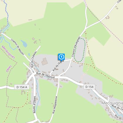
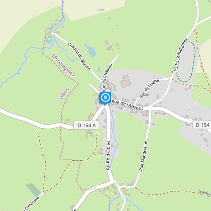
Historical Significance of Mecquignies
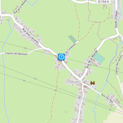
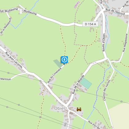
Mecquignies, set at the Druid Trail's commencement, holds a deep-rooted connection to both natural and human history. Situated within the Avesnois region, its landscape offers a unique window into the pastoral traditions that have shaped the area over millennia. Moreover, the proximity to the ancient city of Bavay underscores the region's importance during the Gallo-Roman era, acting as a crucial nexus for trade and cultural exchange. The abundant presence of mistletoe in the forests echoes the druidic legends, weaving a rich tapestry of myth and history that envelops travelers.
Weather Insights for Best Visit Times
The climate of the Avesnois region, where the Druid Trail is located, is temperate oceanic. This means mild summers and cool winters, with precipitation distributed evenly throughout the year. For those planning a visit, late spring through early autumn offers the most favorable weather conditions for hiking—the months from May to September feature warmer temperatures and longer days, providing ample time to explore and enjoy the natural beauty. Always consult a local weather forecast ahead of your journey to prepare adequately.