Alert
Alerts
Itinéraire du Hérapel
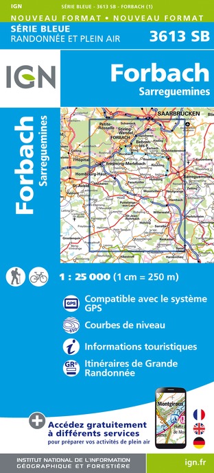
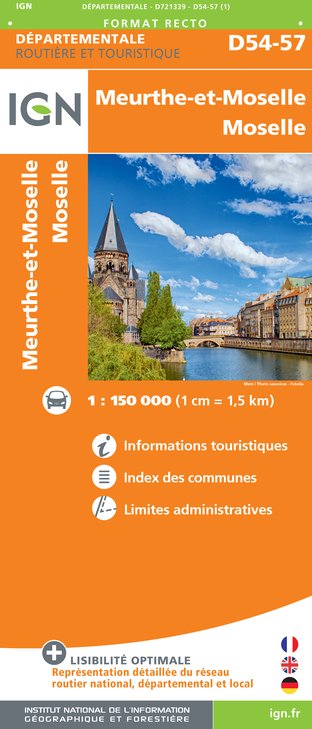
IGN cards


Description
This route, through rural countryside, links the Rosselle valley to the Lorraine plateau via the colline du Hérapel, a Gallo-Roman site offering exceptional views over the region. You’ll discover some remarkable flora and fauna. This route connects with routes "Itinéraire du Charbon et de l’Acier" and "Itinéraire des Berges de la Rosselle" at Guensbach, as well as to the "Circuit des Étangs du Pays de Forbach" at Ebring.
Technical Information
Altimetric profile
Starting point
Additional information
Producteur de la donnée
Ces informations sont issues de la plateforme SITLOR - Système d’Information Touristique - Lorraine
Elles sont synchronisées dans le cadre du partenariat entre Cirkwi, l’Agence régionale du Tourisme Grand Est et les membres du comité technique de Sitlor.
Contact
Tel : 03 87 85 02 43
Email : contact@paysdeforbach.com
Site web : www.paysdeforbach.com
Data author
