Alert
Alerts
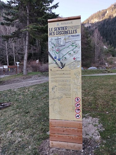
Itinéraire des Cascadelles


IGN cards


Description
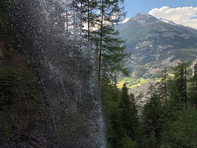
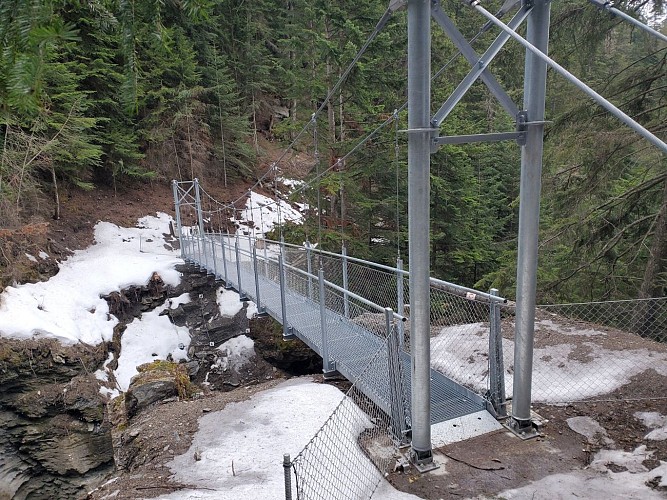
Very nice trail with a succession of bridges and footbridges. This is the place from where we have the most beautiful point of view on the barrier of the Esseillon forts with Dent Parrachée (3697 m) in the background.
Technical Information
Altimetric profile
Starting point
Date and time
- From 01/05/2026 to 30/11/2026
Additional information
Environments
Forest location
Mountain view
Mountain location
Close to GR footpath
Updated by
Communauté de communes Haute Maurienne Vanoise - 02/09/2025
www.cchautemaurienne.com
Report a problem
Open period
From 01/05 to 30/11 daily.
Subject to favorable snow and weather conditions.
Contact
Phone : 04.79.20.33.16
Type of land
Stone
Ground
Not suitable for strollers
Guidebook with maps/step-by-step
Starting point: Redoute Marie-Thérèse car park
Type of trail: PR
Animals
Yes
Data author
