Alert
Alerts
The Solert descent on foot
IGN cards


Description
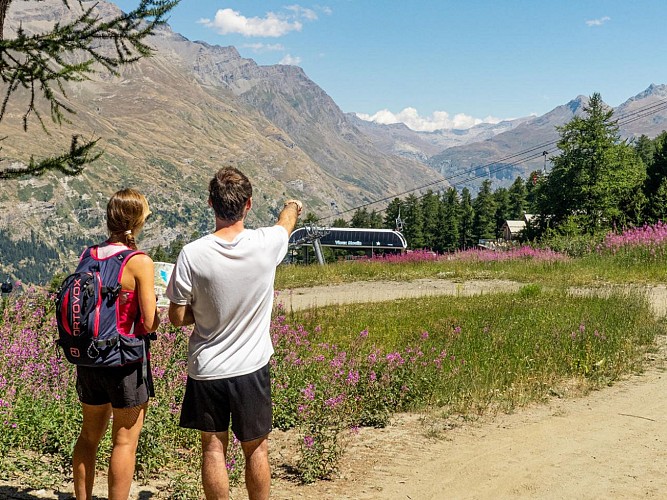
Take a peaceful stroll up the mountain to discover the summer side of the Val Cenis ski resort. Approach the Solert sector away from the crowds on an exclusively downhill route. A surprise awaits you in an unexpected place.
With your feet barely on the ground at an altitude of 2565m after your chairlift ascent, you begin the descent with that feeling of freedom so typical of high-altitude walks. In front of you, the majestic peaks that border the Vanoise National Park seem to watch over the valley floor. You're off into the high meadows, dressed in their most beautiful summer colors. Thistle flowers, houseleeks and bellflowers flirt with the mineral world of the spectacular scree cones as far as the Arcelle chairlift. In winter, this avalanche-prone area is the object of every vigilance.
Choose to leave the access to Lac de l'Arcelle on your right, and you'll find a more bucolic atmosphere that's also enjoyed by the herds. But where does the characteristic bellowing of the tarines in the mountain pastures come from? You'll find out as you cross the Rhodos trail tunnel. Are you ready for an unusual experience?
End your escapade by sharing a wide track with regular mountain bikers. Boarding the Vieux Moulin gondola is now imminent. Or perhaps a gourmet break awaits you at the Fema high-altitude restaurant...
Technical Information
Altimetric profile
Starting point
Points of interest


Additional information
Open period
From 15/05 to 15/10 daily.
Accessible by ski lift in summer.
Subject to favorable snow and weather conditions.
Updated by
Communauté de communes Haute Maurienne Vanoise - 01/09/2025
www.cchautemaurienne.com
Report a problem
Environments
Forest location
Near shuttle stop
Mountain view
Mountain location
Close to a public transportation
Village centre
Pond within 5 km
Contact
Phone : 04 79 05 99 06
Email : info@hautemaurienne.com
Website :
https://www.haute-maurienne-vanoise.com
http://www.cchautemaurienne.com/jy-vais-en
Type of land
Ground
Grit
Not suitable for strollers
Location complements
The hike starts at the top of the Vieux Moulin chairlift and then the Solert chairlift.
To get there by bus: Line S53 - Vieux Moulin cable car stop
By car: park in the parking lots opposite the gondola lift.
Topo guides and map references
Topo guides references :
Map and booklet "Haute Maurienne Vanoise. 115 walks and hikes - 35 trail routes. For all levels" (sold for €10 in Tourist Offices) - Blue route no.
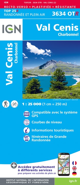
Map references :
Map IGN 3634OT - Val Cenis
Reception complements
The duration of hiking trails is calculated using reference paces: 300 m/h ascent, 500 m/h descent and 4 km/h on the flat.
As hazards may occur at any time on the routes, the GPX tracks provided are not contractual. They are given for information only. Riders use them at their own risk, depending on their level of technological proficiency and their understanding of the terrain.
Guidebook with maps/step-by-step
To guide you in the field, consult the "step-by-step" directional diagram provided in pdf.
Animals
Yes. Out of respect for wildlife, please keep your dog on a lead.
Data author
