Alert
Alerts
Tournemire hiking circuit


Description
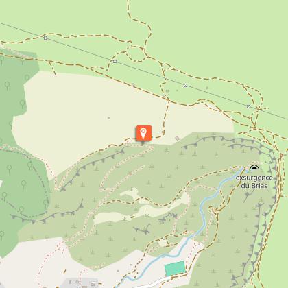
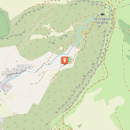
This amazing landscape was shaped by the sea at a time when it covered the causses 200 million of years ago. The Tournemire amphitheatre provides a wonderful natural habitat for fauna and flora varied species.Starting from the car park at the Tournemire town hall, walk along the D23 towards Roquefort. 20 m before the passageway that goes under the railway, take the tarmac track on your right up to the old railway tunnel entrance. Follow the yellow marks and turn to the right on a footpath. Go through a fence, then after 100 m cross a path and keep following the ascending track opposite “the engineer trail”. Once you’ve reached the top of a steep slope, turn into a small dry canyon and after 150 m enjoy a magnificent view on your left. Keep going until you reach the Causse du Larzac where the Fournials fortified farm can be seen (private property, visits not allowed).Leaving the Fournials farm on your left, take the track to the right towards the Viala du Pas de Jaux. From here, a possible option is to walk onwards for 300 m and just before a small stone building leave the track and take right a footpath that goes directly down to Tournemire.Keep following the caussenard footpath and walk past a lavogne (natural pond with a paved bottom on your left) then carry on along the amphitheatre up to the Grépounac cross. Retrace your steps back to the fork with the Arnals path.Take left the track with a red and white marking (GR71C). Carry on the GR which goes down the Tournemire amphitheatre. Walk your way down to the Pont du Diable where you will see the brook Brias resurgence.Head back to Tournemire on the trail, then onto a road which passes the side of the stadium (on the right hand side) then past a beautiful building which was formerly a convent, come back to the Town Hall car park.
Technical Information
Altimetric profile
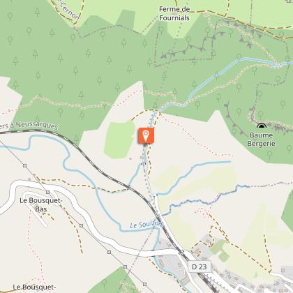
Starting point
Steps
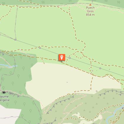
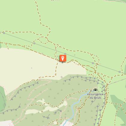
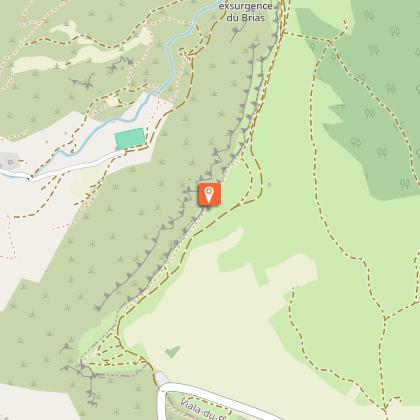
Points of interest


Additional information
Public transport
Travel by bus or train: lio.laregion.fr/carpooling : BlaBlaCar, Rézo Pouce, Mobicoop, Idvroom, LaRoueVerte, Roulez malin
Advice
Travel by bus or train: www.mobimipy.fr/carpooling : BlaBlaCar, Rézo Pouce, Covoiturage-libre, Idvroom, LaRoueVerte, Roulez malin
Is in the midst of the park
This itinerary is located in the World Heritage zone Causses and Cévennes, mediterranean agropastoral cultural landscape.
Advised parking
Town Hall car park situated in the village centre, avenue Hippolyte Puech, in Tournemire.
Accessibility infrastructure
The plesiosaure house is accessible to people with mobility impairment.
Arrival
Town Hall car park situated in the village centre, avenue Hippolyte Puech, in Tournemire.
Ambiance
Starting from Tournemire, walk across a majestic setting made of limestone rocks and grey marls and try to identify bird and butterfly species that have found refuge in the area - the Rock Swallow, the Red-billed Chough, the Large Blue – and plant species clinging to the cliffs such as Hormathophylla macrocarpa... A walk through a haven of biodiversirty!
Access
Coming from Saint-Affrique or from Millau, take the D999, then follow the D23 towards Tournemire for 6 km
Departure
Town Hall car park situated in the village centre, avenue Hippolyte Puech, in Tournemire.
Data author
