Alert
Alerts
Walking itinerary: rando'bus Descente de Joux Plane
Description
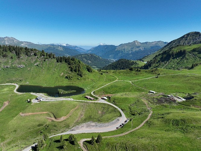
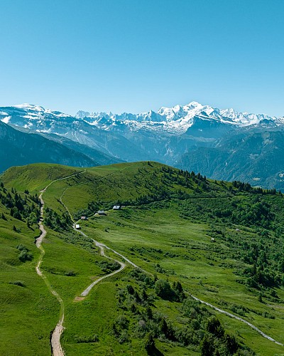
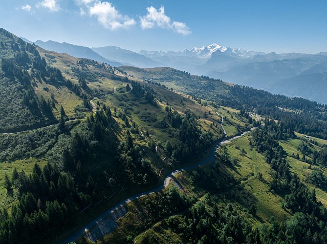
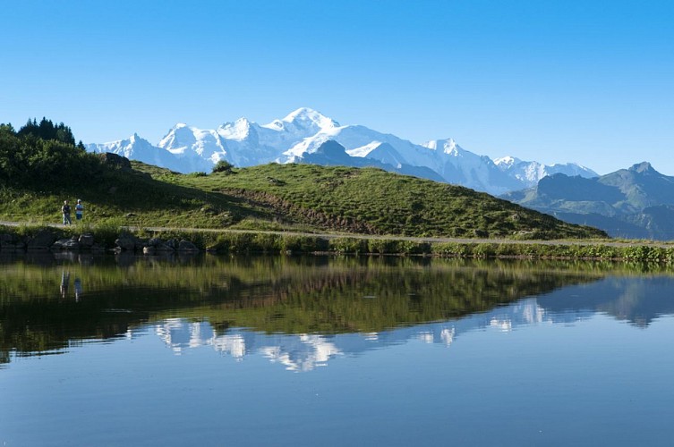
Want to walk down the southern slope from the legendary Joux Plane pass?
Use the destination's mobility network to hike for longer, without having to make the round trip.
Technical Information
Altimetric profile
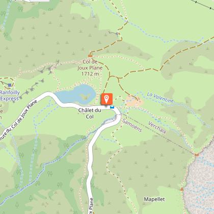
Starting point
Date and time
- From 05/07/2026 to 31/08/2026
- From 05/07/2027 to 31/08/2027
Additional information
Open period
From 05/07 to 31/08 daily.
Updated by
Office de Tourisme de Samoëns - 16/05/2026
www.samoens.com
Report a problem
Contact
Phone : 04 50 34 40 28
Location complements
A shuttle bus will take you to the trailhead (Samoëns - Grand Massif Express).
Schedules to be consulted
via the information leaflet or the "agilbus jacquet" application.
SHUTTLE DEPARTURE
To Samoëns - Col de Joux Plane
From Samoëns - Office de tourisme stop
Route 5
9:30am, 11:45am, 1:55pm or 3:35pm
> Journey time to Col de Joux Plane = 35 min.
Topo guides and map references
Topo guides references :
Route no. 10 in the booklet Rando'Bus in the Montagnes du Giffre, available free of charge from tourist offices during the summer months only, or as a download from the destination's website.
Map references :
IGN TOP 25 - 3530 ET Samoëns map - on sale at the tourist office and in shops. Montagnes du Giffre hiking map - CCMG - on sale at the tourist office.
Type of land
Stone
Ground
Hard coating (tar, cement, flooring)
Grit
Not suitable for strollers
Environments
Lakeside or by stretch of water
Mountain view
Panoramic view
Waterside
In the country
Mountain location
Close to a public transportation
Guidebook with maps/step-by-step
Departure by shuttle from Samoëns - Office de Tourisme
Departure on foot from Samoëns - Col de Joux Plane
1/ From the parking lot, turn left around the lake, passing the chalet, then follow the signs for Les Couttaz.
2/ Continue downhill through the forest, following Croz d'en Haut, then continue towards Lairon.
3/ Then follow signs for La Mouille au Bois, then Montieux, then downhill to La Chaumette.
4/ Follow signs for Le Chaumieu, then La Plaigne and La Rapaz. Go back down to the main road, following signs for Charrières and then Les Hottes Est.
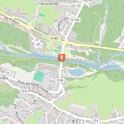
5/ Cross the main road at Pont de la Valentine to reach Lac Bleu de Morillon.
6/ Continue along the Au Fil du Giffre path towards Samoëns Lacs Aux Dames.
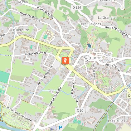
7/ From the Base de Loisirs, take the Avenue du Giffre into the center of Samoëns.
8/ Arrival at Samoëns Tourist Office
Animals
Yes. In the shuttles :
Non-category 1 dogs are allowed on the shuttles.
Dogs outside the basket must be kept on a leash and muzzled (except guide dogs).
category 1 dogs are not allowed on shuttles
Data author
