Alert
Alerts
Hiking: Forens - the Etrès waterfall
Description
Enjoy a family walk that is ideal for hot days, in the shade of trees and along the stream. This refreshing trail leads to the magnificent Etrès waterfall. A perfect moment of relaxation in the heart of nature!
Here is an accessible and pleasant walk, perfect for enjoying summer days in the shade of trees, accompanied by the sound of a refreshing stream. The trail passes through peaceful, green surroundings and leads you to the Etrès waterfall, discreetly nestled in the landscape. A well-deserved refreshing break. A simple and rejuvenating outing in nature, to be shared with the family.
Technical Information
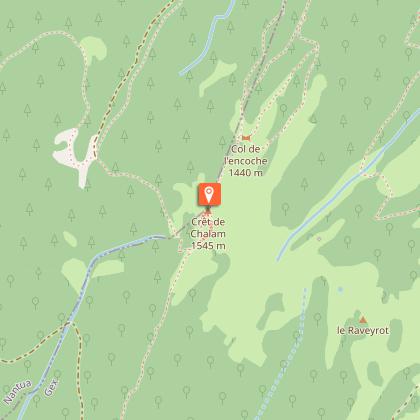
Altimetric profile
Starting point
Additional information
Contact
Phone : 04 50 28 09 16
Website : https://www.paysdegex-montsjura.com
Open period
From 01/01 to 31/12 daily.
Environments
Forest location
In the country
Waterfall view
Type of land
Stone
Ground
Hard coating (tar, cement, flooring)
Not suitable for strollers
Topo guides and map references
Topo guides references :
Hiking in Pays de Gex and the Haute Chaine du Jura: on sale at Pays de Gex tourist agencies: 9€.
Map references :
3328OT - CRÊT DE LA NEIGE
Updated by
Office de Tourisme du Pays de Gex - 16/04/2026
www.paysdegex-montsjura.com
Report a problem
Reception complements
▶ Before setting off:
Check the general and local weather forecast to ensure there will be no precipitation.
Find out about the approach walk, the altitude of the route, the walking time, and possible escape routes (IGN map, GPS, guidebook, etc.).
Assess the possible risks by consulting mountain professionals, mountain huts, and lodges.
Inform a friend or family member of your destination and contact them again in case of any changes: departure and return times, number of participants with each person's telephone number, vehicle(s), parking.
Avoid setting off alone. Use equipment that is suitable for the activity, properly adjusted and in good condition, including a head torch, a complete first aid kit, a survival blanket, etc.
In case of an emergency, call 112 (European emergency number).
Guidebook with maps/step-by-step
(1) On the D14 at the Forens fountain, follow signs for Crêt de Chalam. The path, which is wide and easy, follows the Forens stream for 2.1 km, climbing gradually.
(2) Before you reach a one-way sign, turn right following the signs for the Etrès waterfall. This section of the path becomes narrower and crosses a stream, which may be flowing depending on the season.
(3) Return along the same route.
Animals
Yes
Data author
