Alert
Alerts
Type of practice
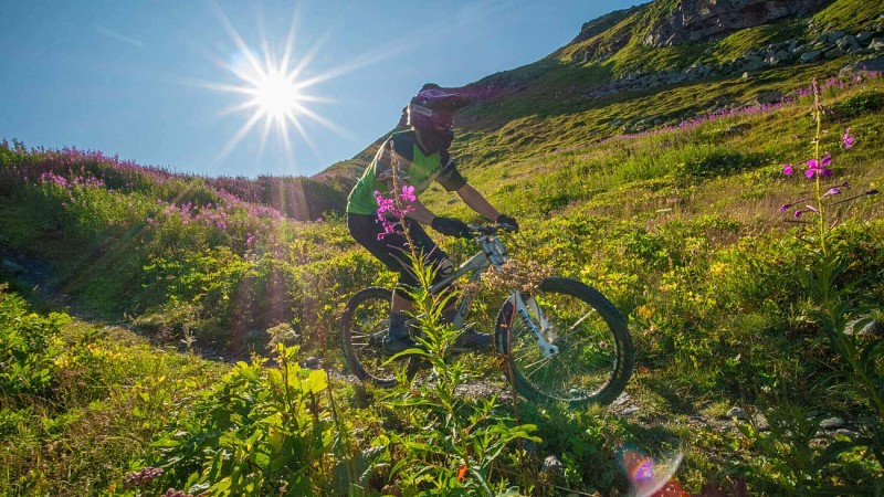
Mountainbiking
Very easy
Presentation
Map
Ratings and reviews
See around
Combe de Thorens - Enduro MTB track
Technical Information
Mountainbiking
Difficulty
Very easy
Dist.
6.8 km
Type of practice
Mountainbiking
Very easy
Show more
Altimetric profile
Starting point
Sommet de la télécabine 2 Lacs
,
73440
Val Thorens
Lat : 45.281919Lng : 6.573843
Additional information
Environments
Mountain view
Mountain location
Updated by
Office de Tourisme de Val Thorens - 30/06/2025
www.valthorens.com/
Report a problem
Contact
Phone : 04 79 00 73 00
Type of land
Stone
Ground
Topo guides and map references
Map references :
3 Vallées Downhill / Enduro route map
Data author

proposed by
Explore Savoie
89 rue Amiral Gérard Daille 73000 Chambéry France
Ratings and reviews
To see around