Alert
Alerts
GRP Tour de la Lys
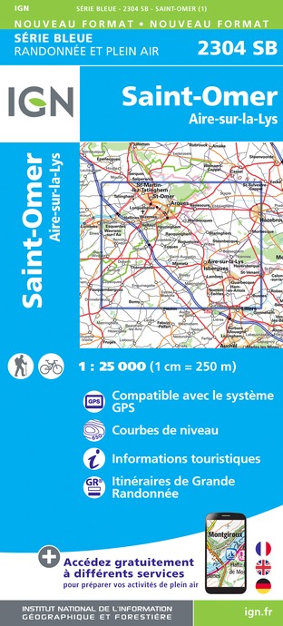
IGN cards


Description
Trail markings: red and white, yellow and white
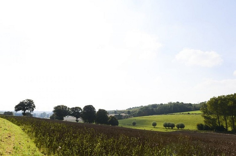
The GRP Tour de la Lys is a 34 km loop hiking trail, located between the agricultural plain of the Lys. It crosses diverse landscapes, marshes and small waterways, offering an immersion in the natural and cultural heritage of the region. Accessible to all, this route highlights local agriculture, picturesque villages and ancestral traditions. A real invitation to discover the riches of the Artois-Lys region.Stage 1 (17km): from Ham-en-Artois to Saint-VenantYour hike starts in the town of Ham-en-Artois. You will follow the large canal, where it is still possible to come across barges. On this long-distance hiking trail, you can follow the Lys plain, wedged between the Flanders mountains.Stage 2 (16km): from Saint-Venant to MametzDuring this second stage, you will cross the lock and the river port of Saint-Venant. You will also have the opportunity to visit the town hall dating from the 18th century as well as the 17th century Porte d’Aire. Before reaching Mametz, you will pass through the town of Aire-sur-la-Lys, where you can discover the public garden, the Grand' Place with its pilastered houses, and the Renaissance-style bailiwick which houses the Office of tourism.Stage 3 (22.5km): from Mametz to AmettesA rather rural stopover with the discovery of Lacquette and its castles. You will also visit watercress beds, crop basins fed by individual boreholes. On the way, you will pass through small picturesque villages like Fléchinelle, Fléchin, Febvin-Palfart, Nédonchel to arrive in Amettes.Stage 4 (10.5 km): from Amettes to Ham-en-ArtoisTo finish this long-distance hiking trail, you will leave Artois to go down towards the Lys plain and reach Ham-en-Artois, thus returning to your starting point.
Technical Information
Altimetric profile
Starting point
Additional information
Advised parking
Gare de Ham-en-Artois
Arrival
Ham-en-Artois, station
Departure
Ham-en-Artois, station
