Alert
Alerts
L'Étang des Planches
Description
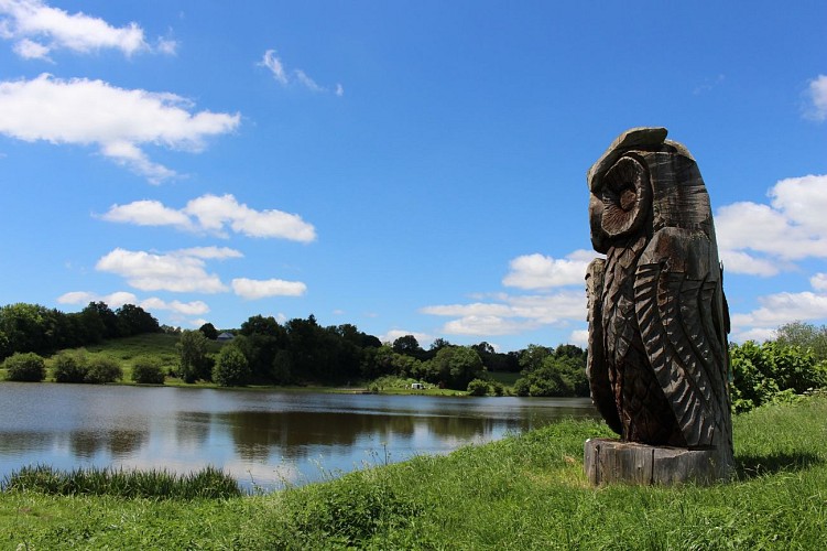
This trail takes in the Etang des Planches, its wooden sculptures and the village of Sainte-Christine.
Technical Information
Altimetric profile
Starting point
Additional information
Updated by
Office de Tourisme des Combrailles - 02/06/2026
www.combrailles-auvergne-tourisme.fr/
Report a problem
Open period
All year round daily.
Contact
Phone : 04 73 52 72 72
Email : accueil@paysdesainteloy.fr
Location complements
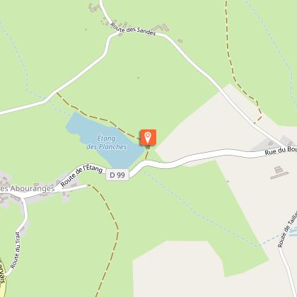
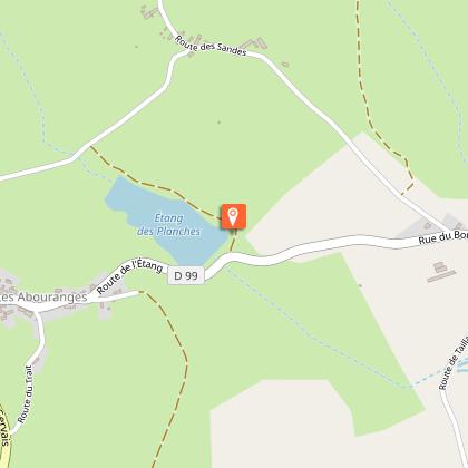
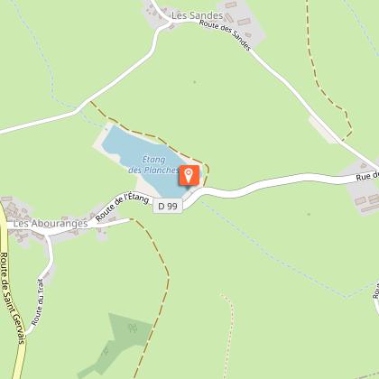
Start sign located on the Etang des Planches dyke, near the covered picnic table. Car park above, along the row of sculpted trunks.
Reception complements
For your own safety, always take a bottle of water, a hat, warm clothing and footwear suitable for walking.
Depending on the weather conditions, some routes are not recommended in bad weather (fog) or are not practicable, or even forbidden, during the winter season.
Some sites are fragile, so stay on the marked paths. Avoid picking wild flowers and disturbing wildlife. Pick up your rubbish.
Guidebook with maps/step-by-step
Departure point: From the start sign, follow the carriage path up towards the carved trunks
. Walk alongside the pond and turn left onto the first grassy path. Back on the road
(D99), turn left and stay there until you see the sign for the village of
Sainte-Christine.
1 - Take the first turning on the left (signposted Les Sandes). After 200 m, opposite an iron cross
, take a path on the right that goes downhill, crosses an inconspicuous stream and then climbs again, reaching a road at
. Turn right as far as a T-junction (oak tree).
2 - Go left up into the hamlet of Garde. Turn left at the fork. At the end of the climb
, the road becomes a good path. About 100 metres after a sharp bend
to the right, go downhill to the left. At the crossroads at the bottom of the descent, continue straight ahead. At
, take the large track on the right. Ignore a path on the left and continue along
until you reach a clearing with several paths leading to it.
3 - Take the path that descends to the right between two meadows, then climb back up to a new
T-junction. Keep to the left and continue along the same path until you reach a T-junction at
near the first houses in Sainte-Christine. Turn left towards the village and
climb up to the D99 road. Turn right onto this road and drive through the village. At the fork in the road,
go left (D99) and find the Sainte-Christine exit sign (point 1 above).
Continue along the road down to the pond embankment and return to
on the right.
Animals
Yes. Dogs must be kept on a lead
