Alert

Alerts

To see around
See more
Open
Close
Show
Show
Show
Show
Show
Show
Show
Show
Show
Show
Show

Oups... It would appear that Cirkwi does not have permission to use your location.

Presentation
Description
Map
Points of interest
Ratings and reviews
See around

Tour du Léman - GR 5 - Secondary routes - Bonne stage - SuperSaxel

Tour du Léman - GR 5 - Secondary routes - Bonne stage - SuperSaxel

IGN cards

3430OT - MONT SALÈVE SAINT-JULIEN-EN-GENEVOIS - ANNEMASSE
Editor : IGN
Collection : TOP 25 ET SÉRIE BLEUE
Scale : 1:25 000
13.90€
3429ET - BONNEVILLE CLUSES LE FAUCIGNY
Editor : IGN
Collection : TOP 25 ET SÉRIE BLEUE
Scale : 1:25 000
13.90€
3429OT - GENÈVE ANNEMASSE LE LÉMAN
Editor : IGN
Collection : TOP 25 ET SÉRIE BLEUE
Scale : 1:25 000
13.90€
TOP75007 - ENTRE LÉMAN ET MONT BLANC CHABLAIS FAUCIGNY
Editor : IGN
Collection : TOP 75
Scale : 1:75 000
9.80€
TOP100D74 - HAUTE-SAVOIE ANNECY THONON-LES-BAINS MASSIF DU MONT BLANC CHAÎNE DES ARAVIS
Editor : IGN
Collection : TOP 100
Scale : 1:100 000
8.40€
202 JURA ALPES DU NORD
Editor : IGN
Collection : TOP 200
Scale : 1:200 000
6.80€
89026 - GRANDES TRAVERSÉES DU JURA - GTJ
Editor : IGN
Collection : DECOUVERTE DES CHEMINS
Scale : 1:105 000
9.10€
D25-39 DOUBS JURA
Editor : IGN
Collection : CARTES DÉPARTEMENTALES IGN
Scale : 1:150 000
5.90€
D01-69 AIN RHÔNE
Editor : IGN
Collection : CARTES DÉPARTEMENTALES IGN
Scale : 1:150 000
5.90€
NR15 AUVERGNE-RHÔNE-ALPES RECTO/VERSO MASSIF ALPIN
Editor : IGN
Collection : CARTES RÉGIONALES IGN
Scale : 1:250 000
6.80€
NR09 BOURGOGNE FRANCHE-COMTÉ
Editor : IGN
Collection : CARTES RÉGIONALES IGN
Scale : 1:250 000
6.80€
NR14 AUVERGNE-RHÔNE-ALPES RECTO/VERSO MASSIF CENTRAL
Editor : IGN
Collection : CARTES RÉGIONALES IGN
Scale : 1:250 000
6.80€
SUISSE
Editor : IGN
Collection : DÉCOUVERTE DES PAYS DU MONDE IGN
Scale : 1:303 000
7.00€
EUROPE
Editor : IGN
Collection : DÉCOUVERTE DES PAYS DU MONDE IGN
Scale : 1:2 500 000
7.00€

Description

Along the Tour du Léman, explore the Voirons massif step by step.

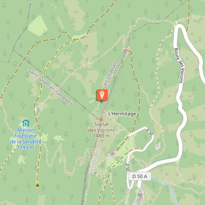
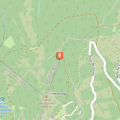
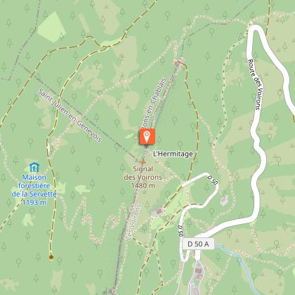
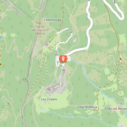
Start your adventure in Bonne, a village with a rich heritage dominated by the church of Saint-Nicolas and ancient ramparts. The climb picks up pace after the Notre-Dame du Pralère oratory, where Mont-Blanc rises to the horizon. Through forest paths and steep cliffs, you reach the summit of the Pralère. Continue up to Saut de la Pucelle, a chasm with a fascinating history, before reaching Signal des Voirons, the highest point on the mountain.
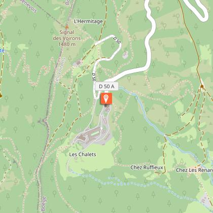
After a steep descent to the Notre-Dame-Des-Voirons chapel, recharge your batteries in this place of pilgrimage. Extend your spiritual interlude at the Monastère Notre-Dame des Voirons, where the Bethlehem sisters invite you to discover their handcrafted creations. Facing Mont Blanc, continue your hike to the Col de Saxel.
From Super-Saxel, take in the unobstructed view of the surrounding landscape as far as Col de Cou.

Technical Information

Walking
Difficulty
Not specified
Dist.
18 km
Show more

Altimetric profile

Starting point

Centre village , 74380   Bonne
Lat : 46.168613Lng : 6.319126

Points of interest

Additional information

Environments

Mountain location

Updated by

Office de Tourisme des Monts du Genevois - 07/11/2025
www.montsdugenevois.com
Report a problem

Open period

All year round daily.

Subject to favorable weather.

Animals

No

Data author

Image Monts du Genevois
proposed by Monts du Genevois
2 Place de la Gare 74100 Annemasse France

Ratings and reviews

To see around
See more
Open
Close
Show
Show
Show
Show
Show
Show
Show
Show
Show
Show
Show
Caution!
We have no information on the difficulty of this circuit. You may encounter some surprises along the way. Before you go, please feel free to inquire more and take all necessary precautions. Have a good trip! 🌳🥾