Alert
Alerts
Les Bouchauds
Description
This route, which is accessible to as many people as possible, offers a wide panorama of the Chaîne des Puys and the Monts Dore.
Technical Information
Altimetric profile
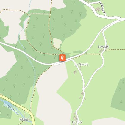
Starting point
Additional information
Open period
All year round daily.
Contact
Phone : 04 73 52 72 72
Email : accueil@paysdesainteloy.fr
Topo guides and map references
Topo guides references :
Hiking map n°7 - Office de Tourisme des Combrailles.
Location complements
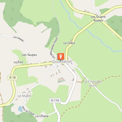
North-west of Clermont-Ferrand, in Gouttières, car park in front of Saint Pierre church.
Follow the yellow signs as you walk.
Updated by
Office de Tourisme des Combrailles - 02/06/2026
www.combrailles-auvergne-tourisme.fr/
Report a problem
Reception complements
For your own safety, always take a bottle of water, a hat, warm clothing and footwear suitable for walking.
Depending on the weather conditions, some routes are not recommended in bad weather (fog) or are not practicable, or even forbidden, during the winter season.
Some sites are fragile, so stay on the marked paths. Avoid picking wild flowers and disturbing wildlife. Pick up your rubbish.
Guidebook with maps/step-by-step
With your back to the church, take the main road to the right. Pass a road on the right, then another on the left, before turning right in the direction of "Chapelle de Montagard". Follow this
(15-minute drive to the chapel: panoramic view, orientation table) to a crossroads. Go right to a farm.
1 - Turn right onto a tarmac road which becomes a forest track,
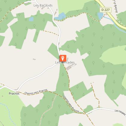
continue to the left. Follow a pond to a road. Follow it to the right. At the end of the hamlet of "Les Racauds", turn left up to a T-junction. Turn right, leaving a track on your left, cross a road (D227) and continue straight on for 1km, ignoring the side tracks, until you reach a crossroads.
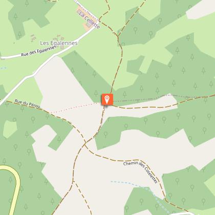
2 - Turn right onto a wide track. Pass the "Parachutage" stele and take the first track on the right.
Follow it down to the pumping station. Continue right to the hamlet of "Les Bouchauds".
At the entrance, turn left. Cross a road, leaving a lake on your right (covered picnic shelter on the bank), and keep going left until you cross a road. Go straight ahead, then at the crossroads, take the path on the right. At the intersection, keep right until you cross a road on a bridge.
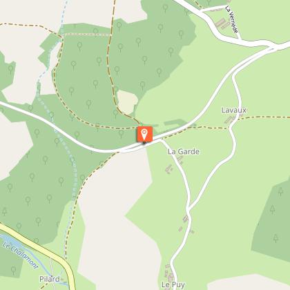
3 - Go downhill to the right (view of the Chaine des Puys), then ignore a road to the right. At the "Cédez le Passage" sign, cross the road and continue on a grassy path. After the stream, at "Les Planchettes", fork left onto the road back to the starting point.
Animals
Yes. Dogs must be kept on a leash
