Alert
Alerts
Chemin des Ronzières
Description
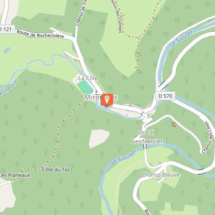
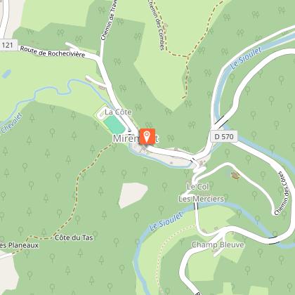
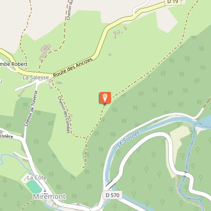
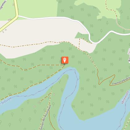
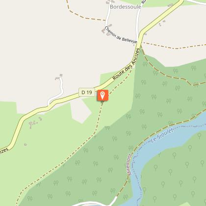
Leaving from Miremont, this route takes you through this typical Auvergne village and the meandering Sioulet.
Technical Information
Altimetric profile
Starting point
Steps
Additional information
Environments
In the country
Updated by
Office de Tourisme des Combrailles - 25/08/2026
www.combrailles-auvergne-tourisme.fr/
Report a problem
Open period
All year round daily.
Subject to favorable weather.
Location complements
North-west of Clermont-Ferrand, in Miremont, car park behind the town hall.
Contact
Phone : 04 73 79 92 52
Email : mairiemiremont63@orange.fr
Reception complements
For your own safety, always take a bottle of water, a hat, warm clothing and footwear suitable for walking.
Depending on the weather conditions, some routes are not recommended in bad weather (fog) or are not practicable, or even forbidden, during the winter season.
Some sites are fragile, so stay on the marked paths. Avoid picking wild flowers and disturbing wildlife. Pick up your rubbish.
Animals are not allowed on some routes.
Guidebook with maps/step-by-step
Départ : Face au panneau de départ, partir à gauche en longeant le cours d’eau (le Chevalet).
Emprunter la route en face jusqu’au croisement D570/D121. Continuer à gauche. Suivre, sur 1.7km, la route
longeant le Sioulet jusqu’à une fourche.
1 – Prendre le chemin à gauche qui s’élève progressivement jusqu’à un virage en épingle à cheveux
(vue sur un méandre, four à charbon de bois). Poursuivre la montée dans la forêt. Franchir une barrière.
Continuer la montée pour atteindre une route. La suivre à gauche jusqu’à la première intersection avec un
chemin carrossable.
2 – L’emprunter à gauche. Continuer toujours tout droit (vues sur le plateau des Combrailles, les
gorges du Sioulet et l’église de Miremont). A la fourche, se diriger à droite. Traverser un hameau (Combe de
Nous) et suivre la route. 50m avant une route principale, descendre le chemin à gauche puis emprunter la
route à gauche. A la croix, tourner sur la route à gauche et rejoindre le point de départ derrière la Mairie
(musées «L’école», «La remise», «La grange» et «L’atelier» devant la Mairie).
Animals
Yes. Dogs must be kept on a lead due to the presence of herds.
