Alert
Alerts
Type of practice
Walking
Easy
1h30mn
Presentation
Description
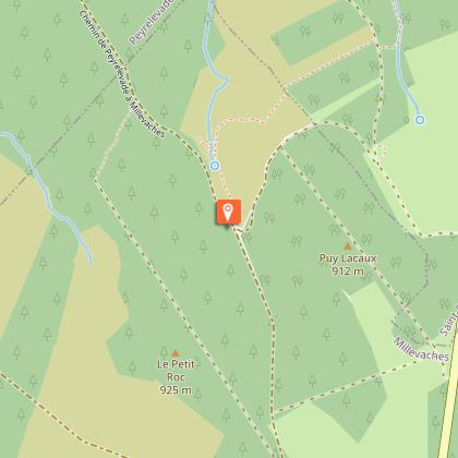
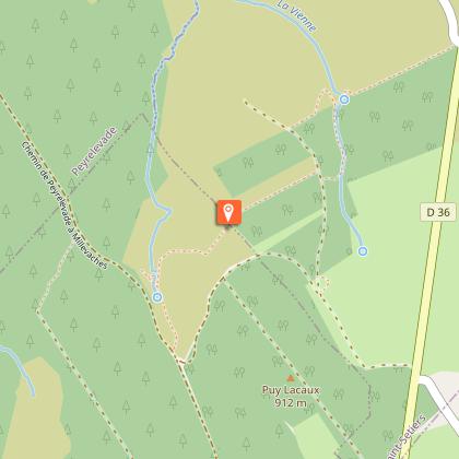
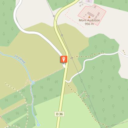
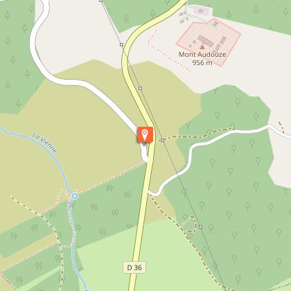
Map
Steps
Points of interest
Ratings and reviews
See around
Sentier d'interprétation des sources de la Vienne - 4 km


Description
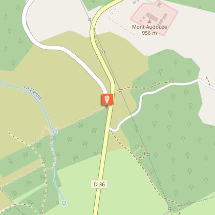
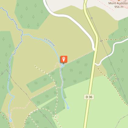
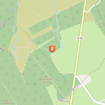
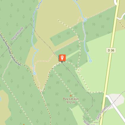
Start : Millevaches, D36, at the crossroads towards Peyrelevade on the D21
Markup :Stones with the legend of the 3 sources
Discover the sources of the Vienne, the watershed and the otter basin.
Technical Information
Walking
Difficulty
Easy
Duration
1h30mn
Dist.
3.7 km
Type of practice
Walking
Easy
1h30mn
Show more
Altimetric profile
Starting point
19290
SAINT-SETIERS
Lat : 45.6676321Lng : 2.09637128
Steps
Additional information
Contact
Fixed telephone : 05 19 60 00 30
e-mail : accueil@otc-haute-correze.fr
Web site (URL) : www.tourisme-hautecorreze.fr/
Typologie de l'itinéraire
Loop
Nature trail
Thèmes
Natural
Durée moyenne de l'expérience
1 to 2 hours
Data author

proposed by
Office de Tourisme de Haute-Corrèze
France
Ratings and reviews
To see around