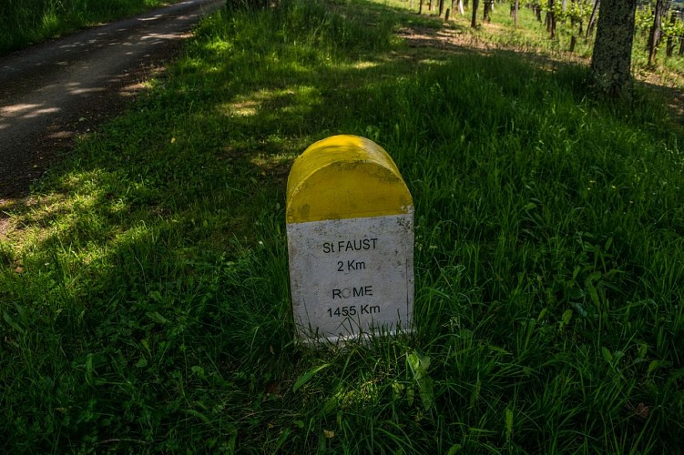
Saint-Faust - Vallée de la Juscle
Description
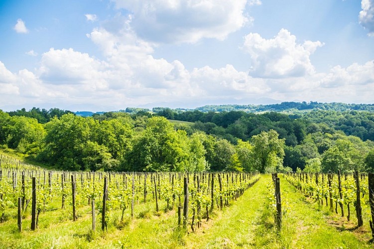
This hike in the heart of the hills will allow you to enjoy the geometry of the vines with the Pyrenees chain in the background.
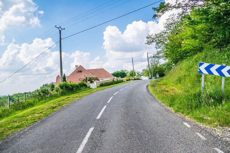
Departure: Parking along the RD502 - 177 Chemin des Crêtes - St Faust
Yellow Pedestrian Marking (n°24)
Technical informations
5.2 km
|
min. 99999 m
264 m
264 m
| |||
Styles : HikingIn the country Public : Family Themes : OenologyPatrimony | ||||
Altimetric profile
Starting point
Steps
Departure - Parking path of the ridges
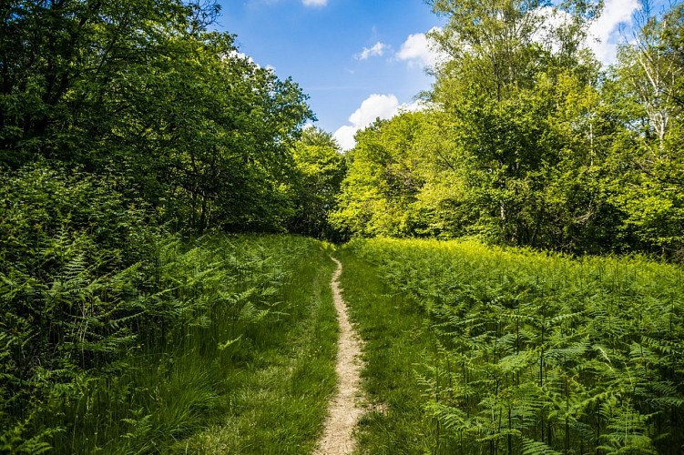
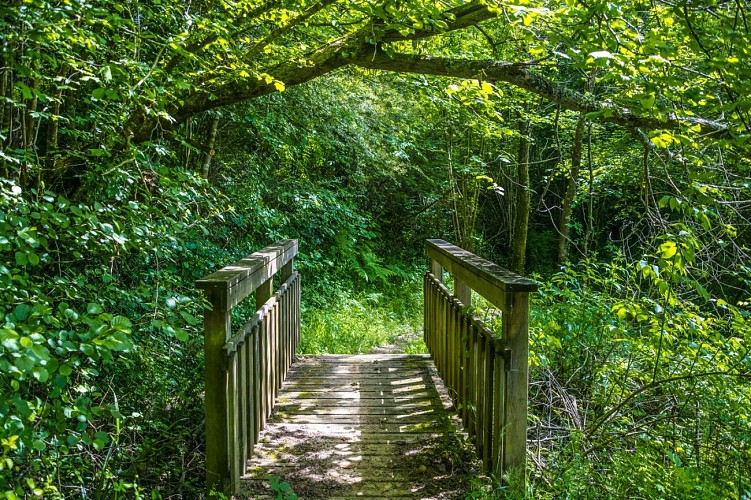
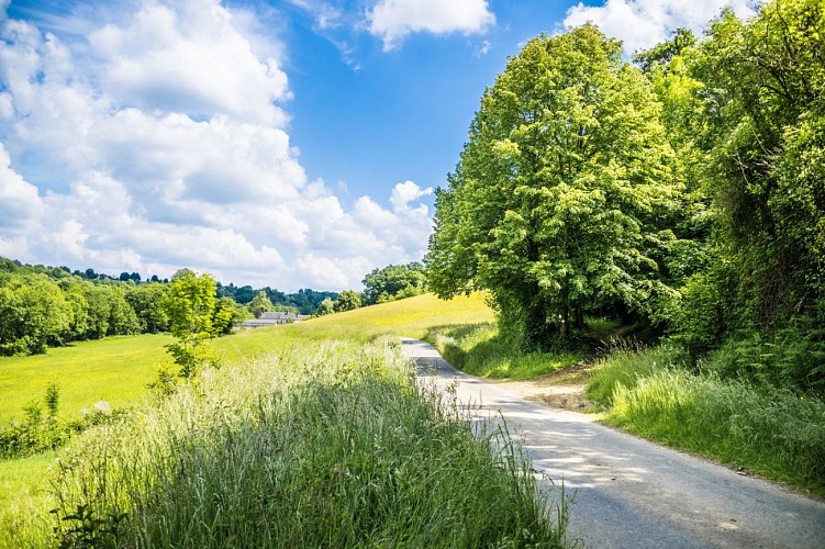
From the car park, turn right and go up the RD 502 towards Saint-Faust-de-Bas. Turn left at the first intersection on Chemin de Mantoulan. Continue on this paved road. Turn left onto a asphalted road that descends (indicated by a wooden sign in the direction of “Filhou”). The paved road quickly becomes a dirt road after the place and descends along a hedge in the direction of the Juscle valley. After a crossing bend on the left, the path continues its descent and arrives along a cultivated plot which it bypasses on the left. At the end of the plot, turn left to cross the stream on a wooden footbridge, then the Juscle on a stone bridge and go up between 2 agricultural plots to the paved road.
Crest Street
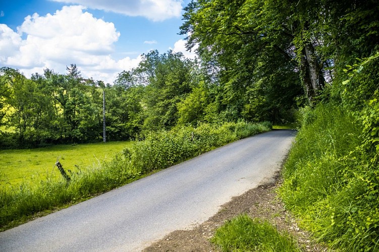
Junction with the paved road. Turn left then immediately right to take the track that climbs through the grove. This makes a turn to the right then at the next fork, stay on the bottom track.

Crossing
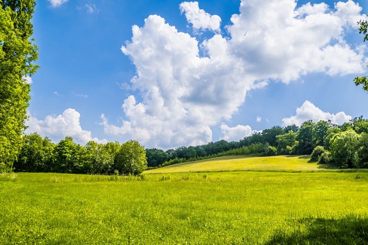
Arrived on the ridge on the edge of a plot of vines, turn right and follow the ridge path. At the southern end of a vast meadow, the path skirts it to the left, then at the end of it, sinks back into the undergrowth. Pass under woodpigeons, then arrive in a new meadow: at the end of it, turn left under the power line to take a steeply descending path. Before the paved road, a track comes from the left: turn right.
Back to the car park
At the junction with the paved road, turn right. At the 1st intersection, turn right towards Saint-Faust on Chemin de Larribère de Talabot. After the white house turn left on the side of the road, turn left, cross the Juscle and continue on the dirt road which climbs. Arriving on the flat, a track seems to come from the right, continue straight. At a place called "Vignau", find the paved road and continue straight to join the RD 502. At this intersection, turn right to arrive at the car park.
Additional information
Balisage
Yellow
Pédestre
Typologie de l'itinéraire
Loop
Thèmes
Natural
Contact
Fixed telephone : +33 5 59 27 27 08
Pau Pyrénées Tourisme
Web site (URL) : www.rando-pau.com
e-mail : contactrandos@tourismepau.fr
Animaux bienvenus ?
Oui
