Siros - Le sentier du gave

Description
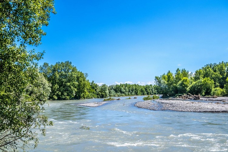
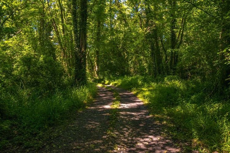
This loop will take you to the heart of the saligue, which designates the typical vegetation that covers all the wetlands of the Gave de Pau.
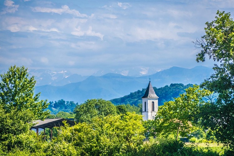
After passing the "Plaine des sports", where you will find a picnic area, the scenery changes. You will find yourself in the open air in the middle of cultivated fields with a view of the Pyrenees.
Town hall car park - Place Yan Sabalot - Siros
Yellow Pedestrian Marking (N°17)
Technical informations
8.9 km
|
max. 139 m
min. 126 m
105 m
105 m
| |||
Styles : BaladeDiscoveryIn the country Public : FamilyOccasional hikers | ||||
Altimetric profile
Starting point
Steps
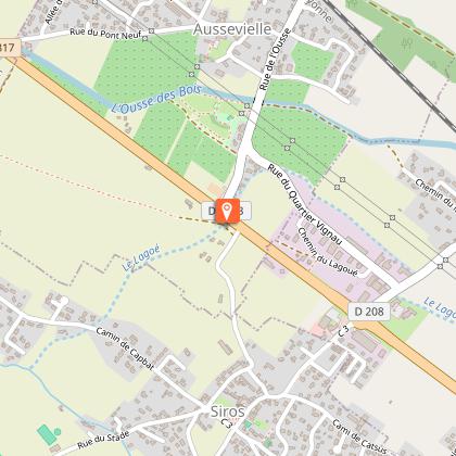
Departure - Town hall car park
From the town hall, turn right. At the give way, continue straight on the asphalted road. At the next crossroads, turn left onto the Cami de Lacampagnote. Continue straight until the stream. After the bridge, turn right onto the no-motor-vehicle dirt road just before the power line. At the first intersection, turn left then 50 m later, turn right on the dirt road, continue it through the forest until the next intersection at the level of the high voltage line. Turn right to the stadium. Just before, turn left on the dirt road until the next intersection before the concrete footbridge.
Fitness trail
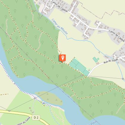
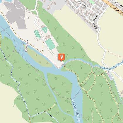
Take the dirt road that goes furthest to the right. Stay on the main track. Near an enclosure and a shelter for cattle (on the right), the track heads off to the left. At the next crossing, a track comes from the left: continue straight on a slightly narrower track. Cross the footbridge then quickly reach a shelter in blue sheet metal (on the right): at the intersection, continue straight on a track which widens. Go to the sewage treatment plant. Turn right at the station At the Canal du Moulin, before the asphalted road, turn left on the path that descends along the canal. Continue along the canal. Near the Gave de Pau, turn right on the footbridge which crosses the Ousse-des-Bois stream and joins the "Plaine of sports".
Back to the car park
Cross the footbridge and stay to the right of the sports course to arrive alongside the stadium. Join the asphalted road which passes along the sports halls and continue towards the town of Denguin. At the crossroads, near the church of Denguin, turn right onto rue de la Poste. The asphalted road turns left, passes the library. Before the school complex, turn right on chemin Cazaubon. Continue straight until the end of the housing estate then turn right on the chemin du Moulin de Haut. At the fork, take the track that goes left. Cross Ousse-des-Bois on the footbridge on the left and stay on the dirt road until near the RD 817. 10 meters before the RD 817, turn right on chemin Simounet. Continue straight on the asphalted road. At the 1st crossing with another asphalted road, turn left on Chemin du Figuier. At the stop sign, turn right. Join the car park near the town hall and the church.
Additional information
Balisage
Yellow
Pédestre
Typologie de l'itinéraire
Loop
Equipements
Picnic area
Picnic area
Picnic area
Thèmes
Natural
Contact
Fixed telephone : +33 5 59 27 27 08
Pau Pyrénées Tourisme
Web site (URL) : www.rando-pau.com
e-mail : contactrandos@tourismepau.fr
Animaux bienvenus ?
Oui
