Oups... It would appear that Cirkwi does not have permission to use your location.

Description
Map
Steps
Points of interest
Ratings and reviews

Uzein - Boucle des sept clochers

11052018-DSC-7659
11052018-DSC-7605
11052018-DSC-7649-2
11052018-DSC-7643

Description

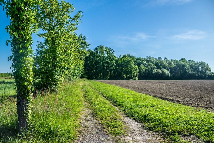
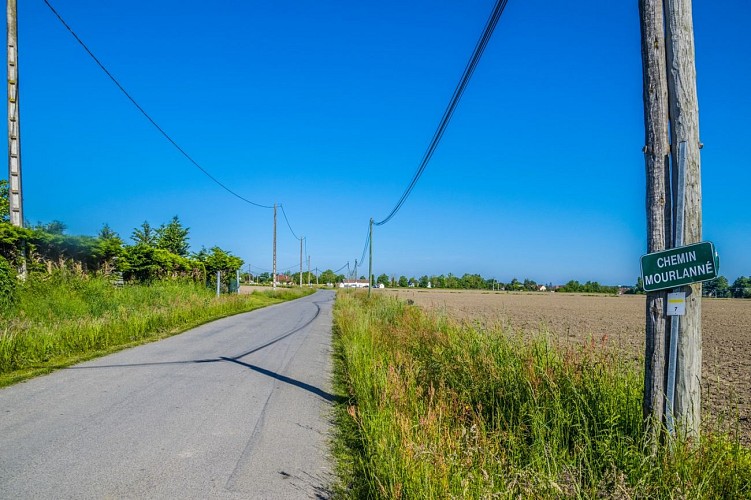
This pretty little loop follows country roads and will offer you a breathtaking view of the Pyrenees chain. And if the corn is not too high, you can see the bell towers of Uzein, Cescau at stage 2 and Serres Castet, Sauvagnon, Caubios, Loos, Momas at stage 3.
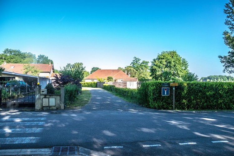
Departure: Parking Place du Lanot - Uzein
Yellow Pedestrian Marking (n°7)

Technical informations

This circuit was updated on: 19/11/2023
4.8 km
1 h 15 mn
max. 177 m
min. 167 m
42 m
42 m
Styles : HikingBaladeDiscoveryIn the country
Public : FamilyOccasional hikers
Theme : Patrimony

Altimetric profile

Starting point

Place du Lanot Place du Lanot , 64230 UZEIN
Lat : 43.398742000001Lng : -0.4363729999951

Steps

1

Departure - Place du Lanot

At the starting panel, facing Chemin Saint-Germain, turn left opposite the church.
At the intersection facing the cross, turn left. Go along the parking spaces and cross the bridge, rue de la Barthète.
Continue straight until the Give way and turn right.
At the junction continue straight ahead towards Pau Pyrénées airport. Leave the Cami de Miqueu on the right and continue to the Uzein village exit sign.

Uzein
Lat : 43.39874Lng : -0.43637
-99999 m
image du poi
2

Chemin Morlanné

Turn left and follow the path. Cross the watercourse on the dike of the flood control basin.
Join the paved road and continue straight. From this point, you will have the opportunity to discover the seven nearby bell towers.
The road makes a bend to the right, continue and take the first dirt road which arrives from the left and pass between two fields.
At the junction with the paved road, turn left onto the road.

Uzein
Lat : 43.3939Lng : -0.42504
-99999 m
image du poi
3

Back to the car park

At the crossroads, cross the road and continue straight on Chemin Mourlanné.
At the next junction, at the Béarn style house, cross the asphalt road and continue opposite on the dirt road.
At the end of this path turn left onto the road. Stay on the main road.
At the level of the church, turn right onto the street that runs along the wall of the enclosure.
Continue on this street to find the departure car park.

Uzein
Lat : 43.406115Lng : -0.435018
-99999 m
image du poi

Points of interest

image utilisateur
/ 16 d / 0 m

View of the Pyrenees

Lat : 43.39441Lng : -0.424652

Additional information

Balisage

Yellow
Pédestre

Dates et heures d'ouverture

All year

Typologie de l'itinéraire

Loop

Equipements

Picnic area
Water point
Ablutions
Information panels

Tarifs

Free

Animaux acceptés ?

Oui

Thèmes

Natural

Contact

Fixed telephone : +33 5 59 27 27 08
Web site (URL) : www.rando-pau.com
e-mail : contactrandos@tourismepau.fr

Cette information vous est fournie par ...

OT Pau
Email : accueil@tourismepau.fr
Site web : www.tourismepau.com/
Adresse : Place Royale, 64000, PAU

Ratings and reviews