Alert
Alerts
Bizanos - Les hauteurs de Franqueville


Description
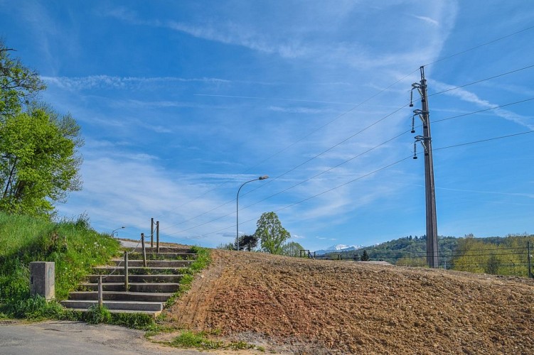
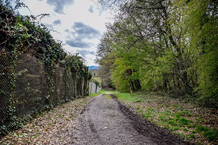
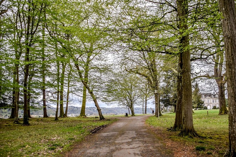
A very easy walk that takes the Chemin Henri IV, to stroll on a wooded site with a remarkable panorama. Slippery passages in wet weather.
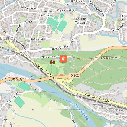
Departure: Car park - 69, rue Pasteur - Bizanos
Yellow Pedestrian Marks
Technical Information
Altimetric profile
Starting point
Steps
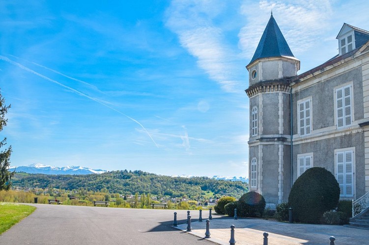
Points of interest


Additional information
Balisage
Yellow
pédestre
Typologie de l'itinéraire
Loop
Thèmes
Natural
Contact
Fixed telephone : +33 5 59 27 27 08
Pau Pyrénées Tourisme
e-mail : contactrandos@tourismepau.fr
Web site (URL) : www.rando-pau.com
Animaux bienvenus ?
Oui
