Alert
Alerts
Bike tour : The 3 Saints and the Blue Cross

Description
Ready for a beautiful 52km loop? Views of the Chartreuse, Épine and Bugey mountains will be in front of you, as will our Dauphiné buildings which can be seen along quiet roads !
Start / return (parking):
- Parking of the station of Pont de Beauvoisin.
From the very beginning, you'll cross the area known as "La Vaulserre" on quiet roads with beautiful views of the Épine and Chartreuse mountains, and the typical Dauphiné houses of the region.
After 8 km, you'll begin the 2.5 km climb at an average gradient of 7% towards the village of Velanne, offering a chance to gain some elevation. For about 20 km, you'll need to look up to enjoy the various viewpoints overlooking the surrounding mountain ranges (Bugey, Épine, Chartreuse, etc.). On some roads, particularly around the 20 km mark and on the climb to Le Passage, you might even catch a glimpse of the roof of Europe: Mont Blanc!
This sporting route also offers the opportunity to take your time, stopping at one of the many picnic tables located along the way, or to make short detours to, for example, discover the Malseroud pond, a designated Sensitive Natural Area.
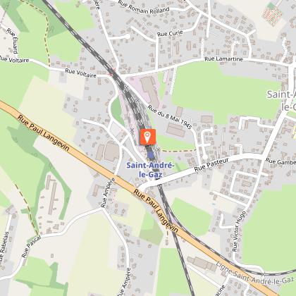
If the route is too long, you can use the Saint André le Gaz train station (km 34) to divide it in two. This way, the loop can be completed partly by bike and partly by train.
Pont de Beauvoisin Station -> Saint André le Gaz Station: 34 km/ 580 D+ / 450 D -
Saint André le Gaz Station -> Pont de Beauvoisin Station: 18 km/ 130 D + / 260 D -
Technical Information
Altimetric profile
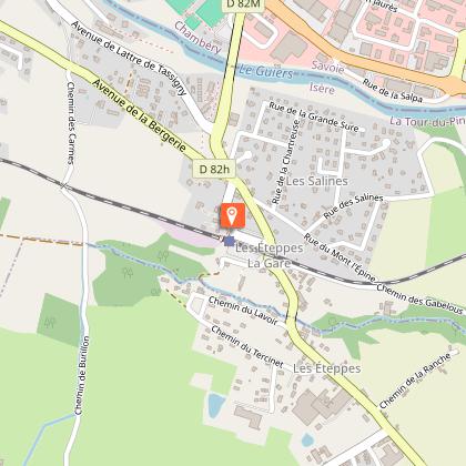
Starting point
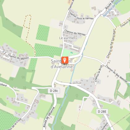
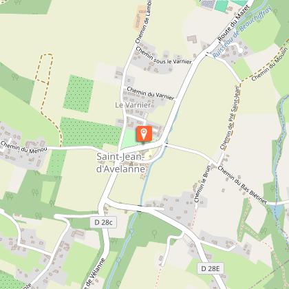
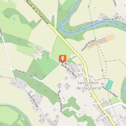
Points of interest


Additional information
Updated by
Office de Tourisme des Vals du Dauphiné - 14/04/2026
www.tourisme-valsdudauphine.fr/
Report a problem
Environments
Mountain view
Panoramic view
In the country
Less than 10 minutes from a train station by bike
Less than 10 minutes from an SNCF train station by electric bike
Less than 10 min walk from a train station
Open period
All year round daily.
See opening hours of Pont-de-Beauvoisin tourist information center.
Contact
Phone : 04 76 32 11 24
Email : tourisme@valsdudauphine.fr
Website : http://www.tourisme-valsdudauphine.fr/
Facebook : https://www.facebook.com/valsdudauphinetourisme/
Topo guides and map references
Map references :
Bike map available free of charge at the Tourist Office Les Vals du Dauphiné
Type of land
Hard coating (tar, cement, flooring)
Tricky passages
Caution when crossing departmental roads 1006 and 1075.
Animals
Yes
Data author
