Alert
Alerts
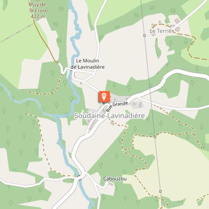
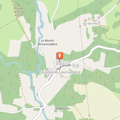
Le Bois d'Anjou


Description
Discover the area?s water resources and equestrian heritage, and go back to the time of the Templars.
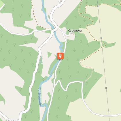
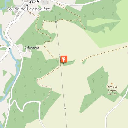
Water is an integral part of the commune?s resources. The Soudaine, the commune?s main watercourse, is tributary to the Bonnat stream, which is joined by the Chaverivière stream. The commune is also watered by the Larrière stream, which is made up of the Ris Combet or Jourgnac stream and the Saint-Dulcet stream. To the north, the Combade, enlarged by the ruisseau du Bohême separating Chamberet and Saint-Gilles les Forêts, forms the boundary between Chamberet and Domps.
Technical Information
Altimetric profile
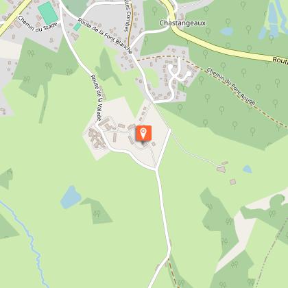
Starting point
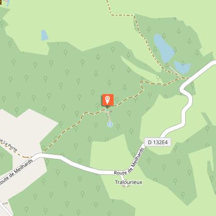
Steps
Additional information
Contact
e-mail : accueil@terresdecorreze.com
Fixed telephone : +33 5 55 73 15 71
Balisage
Yellow
Typologie de l'itinéraire
Loop
Thèmes
Historical
Natural
Marques et labels
FFCT
Durée moyenne de l'expérience
2 to 3 hours
Data author
