Alert
Alerts
Type of practice
Walking
3h30mn
Presentation
Description
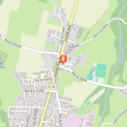
Map
Points of interest
Ratings and reviews
See around
Roman Hike


Description
Following this hiking path, which bring you back to the Gallo Roman history and tales of Izernore.
This hiking path is marked out with a yellow sign. The starting point is in the church's square in Izernore and next you will carry on in the "stones path". After a return to the temple Gallo Roman, the path go on following the towns of Voërle, Intriat, Cessiat. In the chapel St Roman, you will go back to Izernore.
Technical Information
Walking
Difficulty
Not specified
Duration
3h30mn
Dist.
10 km
Type of practice
Walking
3h30mn
Show more
Altimetric profile
Starting point
Place de l'église
,
01580
Izernore
Lat : 46.21993Lng : 5.554619
Points of interest


Additional information
Environments
In the country
Forest location
Lake view
Village centre
Updated by
Office de Tourisme du Haut-Bugey - 03/01/2026
www.hautbugey-tourisme.com/
Report a problem
Data author

proposed by
Haut-Bugey Tourisme
14 rue du Docteur Mercier 01130 Nantua France
Ratings and reviews
To see around