Alert
Alerts
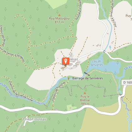
Les Rochers de Servières


Description
Head for the rocks of Servières for a sporty, black-rated route, more physical than technical.
This circuit is part of the FFVélo Haute-Corrèze mountain bike base, the largest mountain bike area in France with 1,000 km of marked trails. It includes a short cut, the "Bois de Tempêtier" circuit, classified as difficult. This relatively easy, sporty circuit includes a slightly more technical section at the Rochers Servières. Beware of the many steep inclines, including on the final stretch.
Technical Information
Altimetric profile
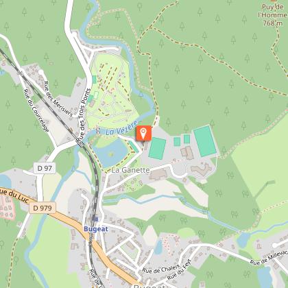
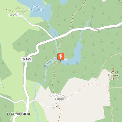
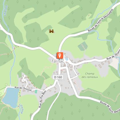
Starting point
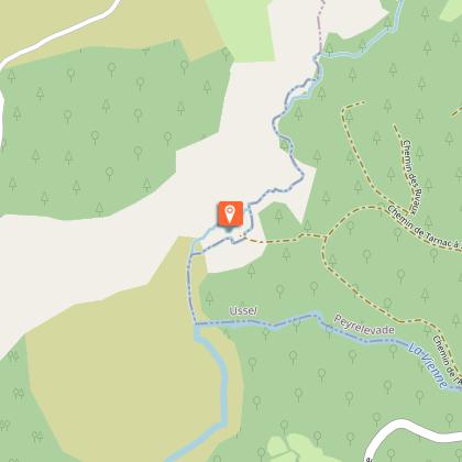
Steps


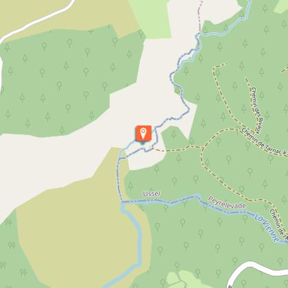

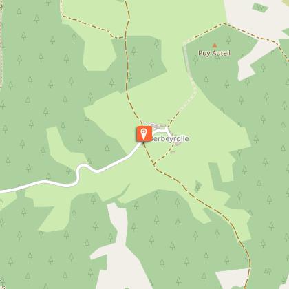
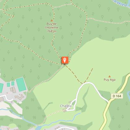
Points of interest


Additional information
Contact
e-mail : accueil@terresdecorreze.com
Fixed telephone : +33 5 55 73 15 71
Balisage
Yellow
Typologie de l'itinéraire
Loop
Thèmes
Historical
Natural
Marques et labels
FFCT
Durée moyenne de l'expérience
3 to 4 hours
Data author
