Alert
Alerts
Col d’Anon – Col des Lauzes (no. 7)
Description
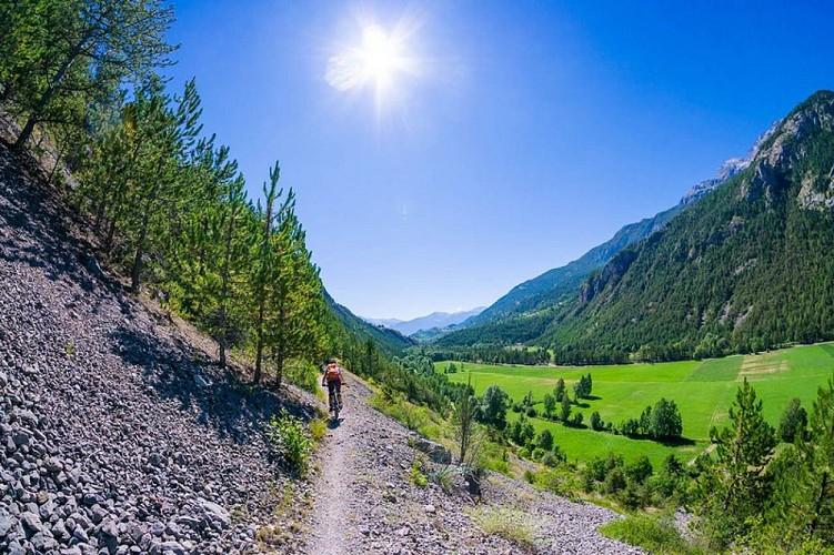
A primarily forest-based route offering a fine vantage point overlooking the valley of Freissinières.
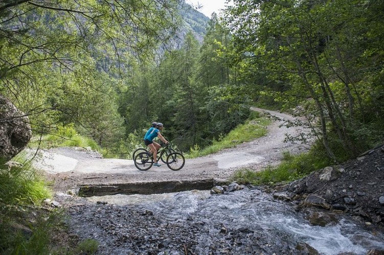
The route starts from the outset along a forest track.
After the first bend, take the track on the left which leads towards the Col d'Anon, rising through woods and clearings
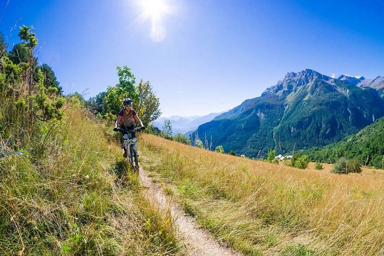
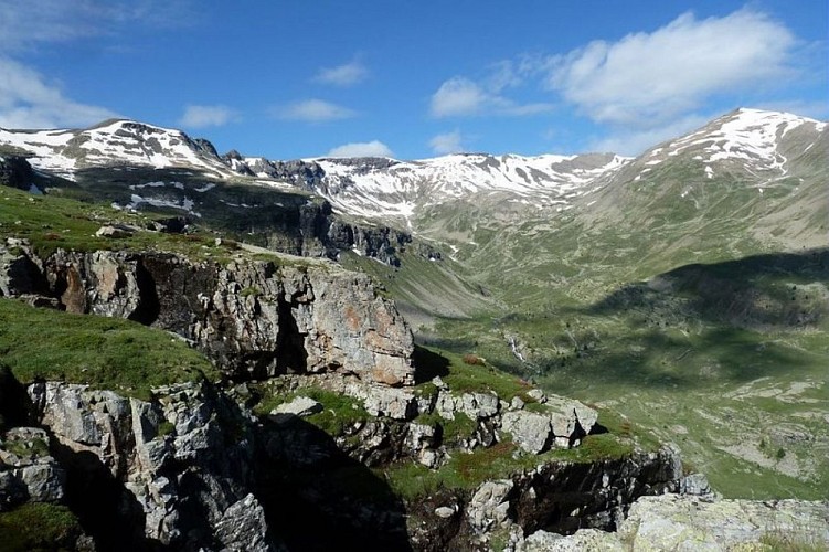
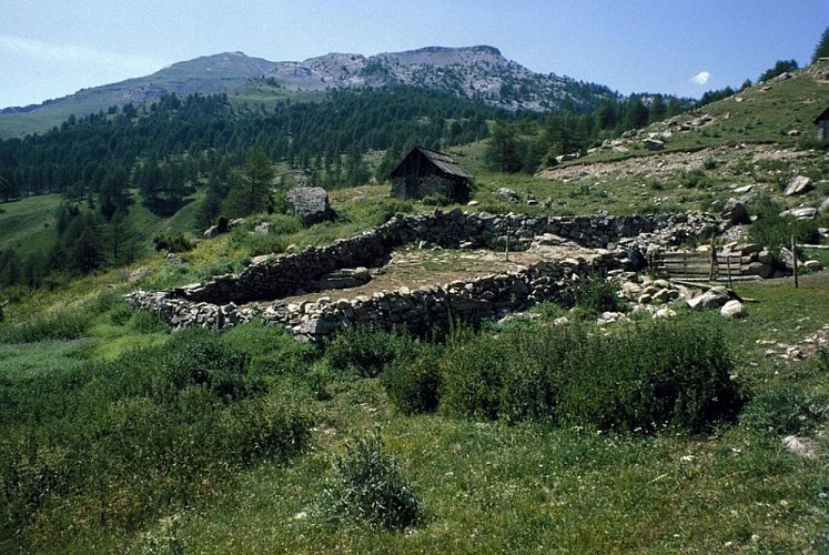
At 1,750 metres altitude, just before the sheepfold of Les Lauzes ("Bergerie des Lauzes"), head left onto the track leading off along the hillside and coming out at the Col des Lauzes. Here you see the Freissinières valley. Carry on along the track which offers fine views over the valley
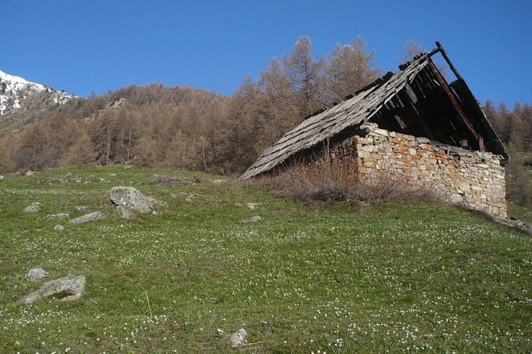
At the pastoral cabin of Les Balmettes, turn off onto the track on the right leading towards the Col d'Anon
Below this, turn left onto the path running almost along the hillside to Crouzet. Here, go downhill towards the recently-renovated chalet and continue downhill on a steep path
Head left to take another path which rises uphill and becomes increasingly grassy
Turn right down a path running downhill, which then zigzags
Lower down, you come to a track which leads smoothly back to your starting point.
Technical Information
Altimetric profile
Starting point
Points of interest
Additional information
Public transport
Nearest SNCF train station: L'Argentière-les-Ecrins (www.voyages-sncf.com)l'argentière-les-Ecrins / La Salce: taxi (Taxi Pellegrin +33 (0)6 98 88 17 78 / Taxi Billau +33 (0)6 08 03 45 90) For more information, ask at the Tourist Information Office nearest to the trail starting point >> www.paysdesecrins.com
Advice
Rescue services contact details: Secours Montagne(Mountain Rescue): +33 (0)4 92 22 22 22 or 112 Show consideration for the work of farmers, livestock keepers and owners Take your litter home Do not take shortcuts across pastureland
Herd protection dogs - ATV
In mountain pastures, protection dogs are there to protect the herds from predators (wolves, etc.). When mountain biking, I adapt my behavior by going around the herd, pausing and getting off the bike so the dog can identify me. Find out more about the actions to adopt with the article "Protection dogs: a context and actions to adopt". Tell us about your meeting by answering this survey.
Advised parking
Car park after the Pont du Sapey towards the Col d'Anon, L’Argentière-La Bessée
Access
In L'Argentière-La-Bessée, follow signs for the Fournel valley ("Vallon du Fournel") and the silver mines ("Mines d'Argent"), from the Le Wagonnet roundabout. The route runs uphill above the village along the D432 towards the Pont du Sapey, at 1,320 metres.
Arrival
After a bridge, the Pont du Sapey, the route leads towards the Col d'Anon, L’Argentière-La Bessée
Ambiance
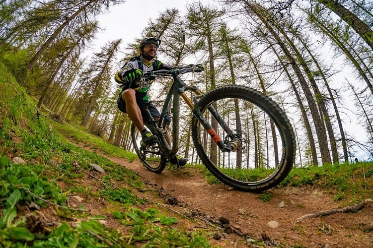
Dark spruce forest, light-filled larch forest with grazing sheep, clearings. Running primarily on the north-facing slopes of the Fournel valley, this route takes you to the heights above the Freissinières valley just long enough to be amazed by the panoramic view!
Departure
After a bridge, the Pont du Sapey, the route leads towards the Col d'Anon, L’Argentière-La Bessée
Data author
