Alert
Alerts
The Col de la Pousterle (trail route no. 5)
Description
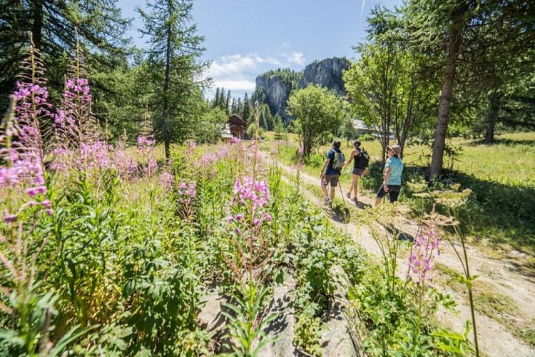
A route through the forest with a beautiful panoramic view at the Col de la Pousterle.
Go through the campsite, carry on along the track and after 200 metres take a path which runs uphill to the left.
Fork left. Cross the road leading to Puy Saint-Vincent and carry straight on along a track leading uphill to the houses in Eyssarvia. Carry on along the track.
Above Eyssarvia, take the track on the left leading to La Bâtie des Vigneaux and after 400 metres, take the path on the right for the Col de la Pousterle. The path leads to the bottom of a limestone cliff and, at this point, runs across a sharp bend in a track. Carry on along this path until you reach the track leading uphill to the pass and cuts through some winding bends. You come to the pass.
Take the track leading directly left. This rises uphill before taking you along a long stretch across the hillside on the northern slope. On the eastern slope, it descends more directly.
Take care not to miss the path when crossing the track over a large flat area; to find the path. you first start to cross a small meadow. Lower down, it joins the track again, and you follow this for some distance before taking a path leading back to Les Vigneaux.
Technical Information
Altimetric profile
Starting point
Points of interest


Additional information
Public transport
Public transport >> www.pacamobilite.fr Consider car-sharing >> www.blablacar.fr For more information, ask at the Tourist Information Office nearest to the trail starting point.
Advice
Before setting off, it is very important to check the opening periods for this route on the website: stationdetrail.com/fr/stations/le-pays-des-ecrins/parcours Share your photographs on social networks with #stationdetrailecrins Check weather conditions before setting off. Rescue services contact details: Secours Montagne (Mountain Rescue): +33 (0)4 92 22 22 22 or 112 Show consideration for the work of farmers, livestock keepers and owners Close all gates behind you Take your litter home Do not take shortcuts across pastureland The trail routes are also suitable for walking
Advised parking
Camping le Courounba car park, Les Vigneaux
Access
10 km from L'Argentière-La Bessée, take the D994E.
Arrival
Camping le Courounba, Les Vigneaux
Ambiance
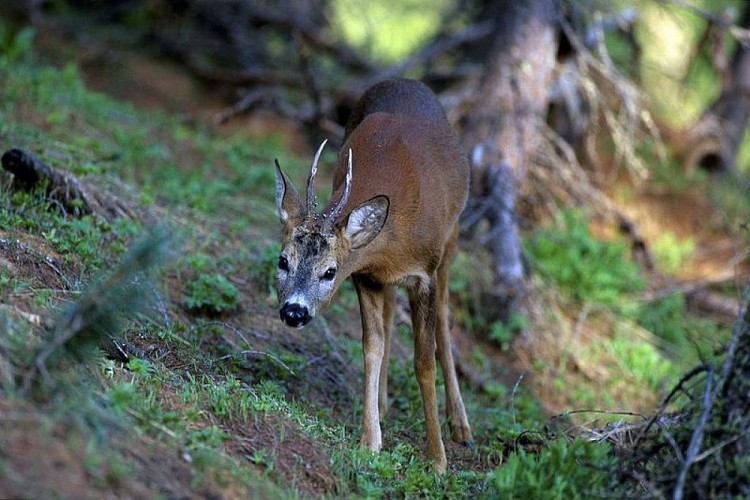
“It was a beautiful autumn day and I knew it was somewhere about because I had just heard its very distinctive call. I peered into the larch branches and there it was. A tiny pygmy owl. Perched on a branch amid the red needles and the grey lichens, it was looking at me.” Marie-Geneviève Nicolas, park ranger at the Parc National des Écrins.
Departure
Camping le Courounba, Les Vigneaux
Data author
